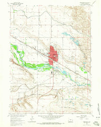
1963 Map of Torrington
USGS Topo · Published 1965About this map
Torrington serves as the focal point of this 1963 survey, situated along the north bank of the North Platte River in Goshen County. The landscape is defined by an intricate network of irrigation systems necessary for high-plains agriculture, including the Interstate Canal, Torrington Ditch, and Arnold Ditch. This era shows the community supporting both the Chicago Burlington and Quincy railroad and localized aviation at the Torrington Municipal Airport. Historical transit corridors are well-marked, tracing the paths of the Emigrant and North Platte Trail and the Emigrant Trail as they follow the river valley. Notable social landmarks include St Josephs Orphanage and Valley View Cemetery, while the presence of several Gravel Pits and Settling Ponds indicates the industrial and municipal infrastructure supporting the growing city and its neighbor, South Torrington.
Find a feature on this map
32 named features on this map. Tap any name to fly to it.
Don’t see what you’re looking for? This feature index may not catch every label — zoom into the map to look around manually.
Map Details
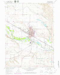
Editions of this 1963 Torrington Map
2 editions found
Other maps of this area

1896 · Patrick
USGS Topo · 1:125,000

1899 · Goshen Hole
USGS Topo · 1:125,000

1954 · Torrington
USGS Topo · 1:250,000

1954 · Cheyenne
USGS Topo · 1:250,000

1958 · Cheyenne
USGS Topo · 1:250,000

1958 · Torrington
USGS Topo · 1:250,000

1960 · Huntley
USGS Topo · 1:24,000

1960 · Lyman
USGS Topo · 1:24,000
1960 · Cottier
USGS Topo · 1:24,000
1960 · Yoder
USGS Topo · 1:24,000