
1960 Map of Lyman
USGS Topo · Published 1962About this map
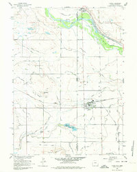
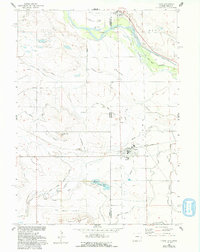
The town of Lyman serves as a focal point along the border of Nebraska and Wyoming, showing a complex network of agricultural irrigation and rail transport in the early 1960s. The Union Pacific railroad cuts through the center of the settlement, while the Chicago Burlington and Quincy line runs to the north near Henry. This landscape is heavily defined by its water management, featuring an intricate system of canals like the Farmers Canal and Gering-Mitchell Canal, alongside drainage features such as the Katzer Main Drain. Historical layers of westward migration are visible through the recorded Emigrant Trail which passes north of Rattlesnake Hill. To the south, Table Mountain rises above Horse Creek, marking the transition into higher ground near Packer Lake (Peters Reservoir No 1).
Find a feature on this map
37 named features on this map. Tap any name to fly to it.
Don’t see what you’re looking for? This feature index may not catch every label — zoom into the map to look around manually.
Map Details
Editions of this 1960 Lyman Map
3 editions found
Other maps of this area

1896 · Patrick
USGS Topo · 1:125,000

1898 · Scotts Bluff
USGS Topo · 1:125,000

1899 · Goshen Hole
USGS Topo · 1:125,000

1899 · Whistle Creek
USGS Topo · 1:125,000

1954 · Scottsbluff
USGS Topo · 1:250,000

1954 · Torrington
USGS Topo · 1:250,000

1954 · Cheyenne
USGS Topo · 1:250,000

1955 · Alliance
USGS Topo · 1:250,000

1957 · Alliance
USGS Topo · 1:250,000

1958 · Cheyenne
USGS Topo · 1:250,000