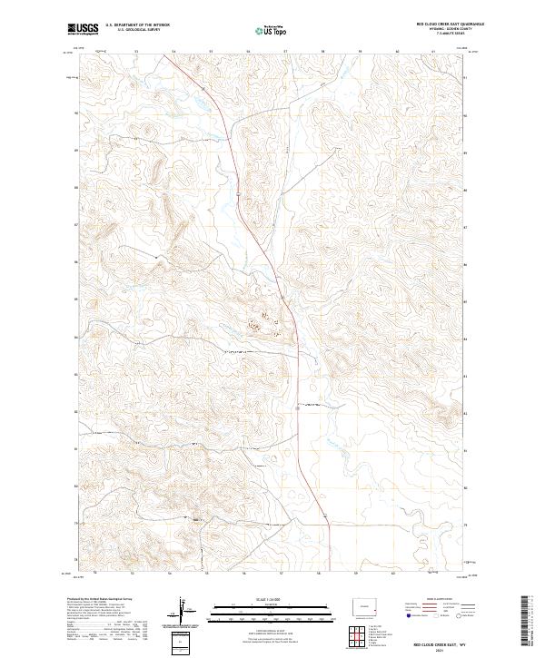
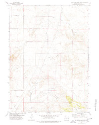
2021 Map of Red Cloud Creek East
USGS Topo · Published 2021About this map
Rawhide Cr and its various tributaries define the drainage patterns of this Goshen County landscape, where the high plains terrain is mapped with fine topographic detail. The hydrology of the region is characterized by seasonal watercourses like Dry Raw-hide Cr and Sixmile Cr, which reveal the erosional patterns of the eastern Wyoming prairie. Red Cloud Cr joins the larger system in the northern sections, illustrating the natural watershed before these waters eventually move toward the North Platte valley.
Find a feature on this map
12 named features on this map. Tap any name to fly to it.
Don’t see what you’re looking for? This feature index may not catch every label — zoom into the map to look around manually.
Map Details
Editions of this 2021 Red Cloud Creek East Map
This is the sole edition of this map. No revisions or reprints were ever made.
Other maps of this area

1896 · Patrick
USGS Topo · 1:125,000

1954 · Torrington
USGS Topo · 1:250,000

1958 · Torrington
USGS Topo · 1:250,000
1960 · Barnes
USGS Topo · 1:24,000
1963 · Lingle
USGS Topo · 1:24,000

1963 · Tea Kettle Rock
USGS Topo · 1:24,000

1974 · Spoon Butte SW
USGS Topo · 1:24,000
1974 · Jay Em NW
USGS Topo · 1:24,000

1974 · Jay Em
USGS Topo · 1:24,000
1977 · Red Cloud Creek West
USGS Topo · 1:24,000