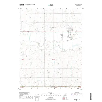
2017 Map of Red Cloud
USGS Topo · Published 2017About this map
The Republican River meanders across the southern portion of Webster County, carving a valley that defines the local geography. At its northern bend sits the historic settlement of Red Cloud, a town deeply connected to its agricultural surroundings and the engineering of the Franklin Canal. This landscape is marked by the intricate drainage systems of Indian Cr and Crooked Cr, which feed the river from the north, while the southern terrain is more dissected by various branches of Penny Cr.
Find a feature on this map
47 named features on this map. Tap any name to fly to it.
Don’t see what you’re looking for? This feature index may not catch every label — zoom into the map to look around manually.
Map Details
Editions of this 2017 Red Cloud Map
This is the sole edition of this map. No revisions or reprints were ever made.
Other maps of this area

1893 · Smith Center
USGS Topo · 1:125,000

1894 · Mankato
USGS Topo · 1:125,000

1897 · Red Cloud
USGS Topo · 1:125,000

1898 · Superior
USGS Topo · 1:125,000

1940 · Red Cloud
USGS Topo · 1:62,500

1942 · Red Cloud
USGS Topo · 1:62,500

1955 · Grand Island
USGS Topo · 1:250,000

1955 · Beloit
USGS Topo · 1:250,000

1957 · Grand Island
USGS Topo · 1:250,000

1958 · Grand Island
USGS Topo · 1:250,000