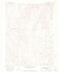
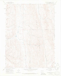
1966 Map of Red Elephant Point
USGS Topo · Published 1969About this map
The White River National Forest defines this high-altitude landscape along the border of Garfield and Rio Blanco counties. The terrain is a complex network of ridges and drainages, where Middle Mountain and Coulter Mesa rise above deep-cut canyons like Red Canyon and Buckskin Gulch. Human presence is marked by seasonal livestock and forestry infrastructure, notably the Bar H L Guard Station and scattered sites like Rifle Creek Cow Camp. The importance of water management and livestock movement in this era is evident through the extensive Ute Stock Driveway and the collection of springs and reservoirs, including Howey Reservoir and Trojan Lake. A dense network of a Pack Trail and Jeep Trail routes provides the primary access across Big Mountain and Hay Flat, reflecting a landscape managed for wilderness and grazing rather than permanent settlement.
Find a feature on this map
41 named features on this map. Tap any name to fly to it.
Don’t see what you’re looking for? This feature index may not catch every label — zoom into the map to look around manually.
Map Details
Editions of this 1966 Red Elephant Point Map
4 editions found
Other maps of this area

1906 · Grand Hogback
USGS Topo · 1:125,000

1910 · Grand Hogback
USGS Topo · 1:125,000

1952 · Rio Blanco
USGS Topo · 1:24,000

1952 · Horse Mountain
USGS Topo · 1:24,000

1957 · Leadville
USGS Topo · 1:250,000

1959 · Leadville
USGS Topo · 1:250,000

1960 · Leadville
USGS Topo · 1:250,000

1962 · Leadville
USGS Topo · 1:250,000

1964 · Leadville
USGS Topo · 1:250,000
1966 · Thirteenmile Creek
USGS Topo · 1:24,000