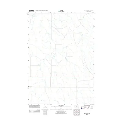
2012 Map of Red Elm SW
USGS Topo · Published 2012About this map
S Fork Flint Rock Cr snakes through the open rangeland of Ziebach County, forming a drainage network that defines the north-central topography of this South Dakota quadrangle. The map highlights a landscape largely shaped by these seasonal waterways, including Flint Rock Cr in the far northwest and Red Coat Cr along the southern edge. Human infrastructure is sparse, restricted primarily to a few section-line roads and rural corridors like Bachman Rd and Arrow Head Rd that provide access across the rolling prairie. This digital-era survey records the subtle hydrography of the region during a period of modern land management, capturing the exact paths of these tributaries before they contribute to the larger Missouri River basin. For those tracking land use or physical geography in District 1, the sheet preserves the specific placement of drainage patterns and transportation routes as they existed in the early 2010s.
Find a feature on this map
5 named features on this map. Tap any name to fly to it.
Don’t see what you’re looking for? This feature index may not catch every label — zoom into the map to look around manually.
Map Details
Editions of this 2012 Red Elm SW Map
This is the sole edition of this map. No revisions or reprints were ever made.
Other maps of this area

1951 · Redelm NE
USGS Topo · 1:24,000

1951 · Redelm NW
USGS Topo · 1:24,000

1951 · Faith NE
USGS Topo · 1:24,000

1953 · Rapid City
USGS Topo · 1:250,000

1953 · McIntosh
USGS Topo · 1:250,000

1954 · Lemmon
USGS Topo · 1:250,000

1954 · Pierre
USGS Topo · 1:250,000

1957 · Lemmon
USGS Topo · 1:250,000

1957 · Rapid City
USGS Topo · 1:250,000

1958 · Pierre
USGS Topo · 1:250,000