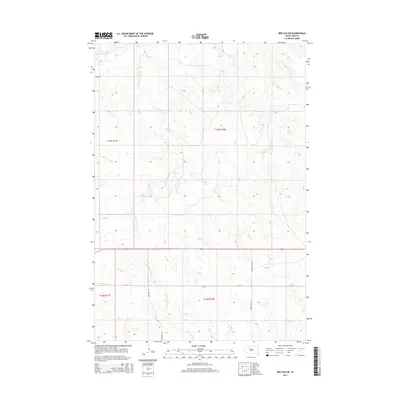
2015 Map of Red Elm SW
USGS Topo · Published 2015About this map
Flint Rock Cr and its tributaries define the undulating topography of this Ziebach County landscape, where the S Fork Flint Rock Cr cuts diagonally across the township lines. The terrain is structured by the Public Land Survey System, with the map clearly delineating the boundaries of t13n r17e, t13n r18e, t12n r17e, and t12n r18e. This 2015 survey shows a largely open ranching or agricultural environment, where movement is dictated by a sparse grid of section-line roads and natural watercourses.
Find a feature on this map
11 named features on this map. Tap any name to fly to it.
Don’t see what you’re looking for? This feature index may not catch every label — zoom into the map to look around manually.
Map Details
Editions of this 2015 Red Elm SW Map
This is the sole edition of this map. No revisions or reprints were ever made.
Other maps of this area

1951 · Redelm NE
USGS Topo · 1:24,000

1951 · Redelm NW
USGS Topo · 1:24,000

1951 · Faith NE
USGS Topo · 1:24,000

1953 · Rapid City
USGS Topo · 1:250,000

1953 · McIntosh
USGS Topo · 1:250,000

1954 · Lemmon
USGS Topo · 1:250,000

1954 · Pierre
USGS Topo · 1:250,000

1957 · Lemmon
USGS Topo · 1:250,000

1957 · Rapid City
USGS Topo · 1:250,000

1958 · Pierre
USGS Topo · 1:250,000