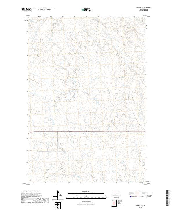
2021 Map of Red Elm SW
USGS Topo · Published 2021About this map
Flint Rock Cr and its tributaries carve a network of drainage basins across this corner of Ziebach County. The landscape is defined by the winding course of the S Fork Flint Rock Cr, which meanders through the central and western sections of the township. This modern survey illustrates the expansive, open character of the South Dakota prairie, where section lines and isolated rural roads like 164th St and 161 1/2 St provide the primary infrastructure for the region. In the southern portion of the map, Red Coat Cr drains toward the southeast, highlighting the subtle topographical shifts that dictate the flow of water across these high plains. The absence of concentrated settlements emphasizes the vastness of the local ranching or agricultural operations that occupy these numbered townships and ranges.
Find a feature on this map
10 named features on this map. Tap any name to fly to it.
Don’t see what you’re looking for? This feature index may not catch every label — zoom into the map to look around manually.
Map Details
Editions of this 2021 Red Elm SW Map
This is the sole edition of this map. No revisions or reprints were ever made.
Other maps of this area

1951 · Redelm NE
USGS Topo · 1:24,000

1951 · Redelm NW
USGS Topo · 1:24,000

1951 · Faith NE
USGS Topo · 1:24,000

1953 · Rapid City
USGS Topo · 1:250,000

1953 · McIntosh
USGS Topo · 1:250,000

1954 · Lemmon
USGS Topo · 1:250,000

1954 · Pierre
USGS Topo · 1:250,000

1957 · Lemmon
USGS Topo · 1:250,000

1957 · Rapid City
USGS Topo · 1:250,000

1958 · Pierre
USGS Topo · 1:250,000