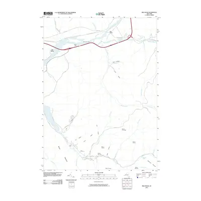
2010 Map of Red House
USGS Topo · Published 2010About this map
Red House and Cold Spring anchor this 2010 topographic record of the Allegheny River valley, where the water bends around Red House Point. The landscape is defined by its deep hollows and high peaks named for Indigenous nations, including Mount Seneca, Mount Onondaga, Mount Oneida, Mount Mohawk, and Mount Cayuga. These summits overlook a network of seasonal camps and recreation sites such as Camp Number Five, Camp Turner, and the Quaker Run Area.
Find a feature on this map
52 named features on this map. Tap any name to fly to it.
Don’t see what you’re looking for? This feature index may not catch every label — zoom into the map to look around manually.
Map Details
Editions of this 2010 Red House Map
This is the sole edition of this map. No revisions or reprints were ever made.
Other maps of this area

1900 · Salamanca
USGS Topo · 1:62,500

1922 · Randolph
USGS Topo · 1:62,500

1923 · Randolph
USGS Topo · 1:62,500

1924 · Bradford
USGS Topo · 1:62,500

1926 · Bradford
USGS Topo · 1:62,500

1936 · Kinzua
USGS Topo · 1:48,000

1938 · Salamanca
USGS Topo · 1:62,500

1941 · Kinzua
USGS Topo · 1:62,500

1941 · Bradford
USGS Topo · 1:62,500

1943 · Randolph
USGS Topo · 1:62,500