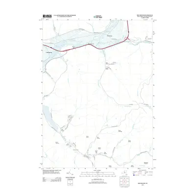
2013 Map of Red House
USGS Topo · Published 2013About this map
Allegheny Reservoir dominates the northern landscape of this region, shaping the modern geography around Red House and Cold Spring. The terrain is defined by a dense network of high ridges and deep hollows, including Beck Hollow, Lonkto Hollow, and Cain Hollow, which feed into the reservoir's complex shoreline. The southern portion of the map is heavily dedicated to recreational and conservation areas within Allegany State Park, where sites like the Quaker Run Area and Science Lake are situated among prominent peaks such as Mount Tuscarora and Blacksnake Mountain. These landmarks reflect the area's transition from early settlements to a major public park system. Smaller established sites like Camp Turner and Camp Number Five are tucked away near Quaker Run, illustrating the long-standing use of this wooded terrain for organized outdoor activities and youth camps.
Find a feature on this map
70 named features on this map. Tap any name to fly to it.
Don’t see what you’re looking for? This feature index may not catch every label — zoom into the map to look around manually.
Map Details
Editions of this 2013 Red House Map
This is the sole edition of this map. No revisions or reprints were ever made.
Other maps of this area

1900 · Salamanca
USGS Topo · 1:62,500

1922 · Randolph
USGS Topo · 1:62,500

1923 · Randolph
USGS Topo · 1:62,500

1924 · Bradford
USGS Topo · 1:62,500

1926 · Bradford
USGS Topo · 1:62,500

1936 · Kinzua
USGS Topo · 1:48,000

1938 · Salamanca
USGS Topo · 1:62,500

1941 · Kinzua
USGS Topo · 1:62,500

1941 · Bradford
USGS Topo · 1:62,500

1943 · Randolph
USGS Topo · 1:62,500