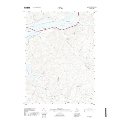
2019 Map of Red House
USGS Topo · Published 2019About this map
Allegany State Park dominates this landscape, where the ridges of the Allegheny Plateau are carved by a dense network of runs and hollows. The area around Red House and Cold Spring shows a transition from the broad valleys of Red House Brook and Sunfish Cove to the steep elevations of Mt Tuscarora and Mt Seneca. Significant for outdoor recreation history, the map details the early 21st-century trail system, including the N Country National Scenic Trail, the Weller Cabin Trl, and the interestingly named Witchs Walk. The geography is defined by narrow drainages like Cain Hollow and Beck Hollow, which descend toward Quaker Run. Remote peaks such as Mt Onondaga and Mt Oneida reflect a naming convention honoring indigenous heritage within the park's forested boundaries.
Find a feature on this map
61 named features on this map. Tap any name to fly to it.
Don’t see what you’re looking for? This feature index may not catch every label — zoom into the map to look around manually.
Map Details
Editions of this 2019 Red House Map
This is the sole edition of this map. No revisions or reprints were ever made.
Other maps of this area

1900 · Salamanca
USGS Topo · 1:62,500

1922 · Randolph
USGS Topo · 1:62,500

1923 · Randolph
USGS Topo · 1:62,500

1924 · Bradford
USGS Topo · 1:62,500

1926 · Bradford
USGS Topo · 1:62,500

1936 · Kinzua
USGS Topo · 1:48,000

1938 · Salamanca
USGS Topo · 1:62,500

1941 · Kinzua
USGS Topo · 1:62,500

1941 · Bradford
USGS Topo · 1:62,500

1943 · Randolph
USGS Topo · 1:62,500