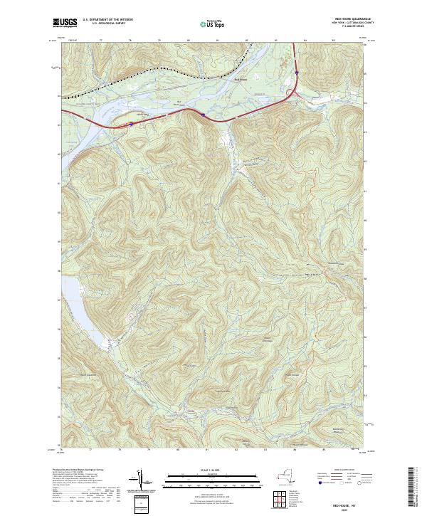
2023 Map of Red House
USGS Topo · Published 2023About this map
The Allegheny River bends through the northern portion of this map, shaping a landscape defined by prominent peaks and deep hollows within Allegany State Park. The small settlement of Red House sits near the river's edge, adjacent to Red House Point and the confluence of Red House Brook. This area is characterized by significant topographical relief, featuring several named summits such as Mount Onondaga, Mount Seneca, and Blacksnake Mountain.
Find a feature on this map
61 named features on this map. Tap any name to fly to it.
Don’t see what you’re looking for? This feature index may not catch every label — zoom into the map to look around manually.
Map Details
Editions of this 2023 Red House Map
This is the sole edition of this map. No revisions or reprints were ever made.
Other maps of this area

1900 · Salamanca
USGS Topo · 1:62,500

1922 · Randolph
USGS Topo · 1:62,500

1923 · Randolph
USGS Topo · 1:62,500

1924 · Bradford
USGS Topo · 1:62,500

1926 · Bradford
USGS Topo · 1:62,500

1936 · Kinzua
USGS Topo · 1:48,000

1938 · Salamanca
USGS Topo · 1:62,500

1941 · Kinzua
USGS Topo · 1:62,500

1941 · Bradford
USGS Topo · 1:62,500

1943 · Randolph
USGS Topo · 1:62,500