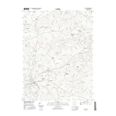
2016 Map of Red Lion
USGS Topo · Published 2016About this map
Red Lion and the surrounding York County countryside are shown here as they appeared in 2016, illustrating a landscape where historical industrial roots meet modern residential growth. The area around Margaretta Furnace and Leiphart Mill reflects the region's early manufacturing and milling heritage, while the presence of the D Evans Farm Airport and several reservoirs, including the Red Lion Reservoir and East Prospect Reservoir, highlights local infrastructure and utility management.
Find a feature on this map
246 named features on this map. Tap any name to fly to it.
Don’t see what you’re looking for? This feature index may not catch every label — zoom into the map to look around manually.
Map Details
Editions of this 2016 Red Lion Map
This is the sole edition of this map. No revisions or reprints were ever made.
Other maps of this area

1902 · Lancaster
USGS Topo · 1:62,500

1904 · Lancaster
USGS Topo · 1:62,500

1908 · Middletown
USGS Topo · 1:62,500

1908 · York
USGS Topo · 1:62,500

1910 · York
USGS Topo · 1:62,500

1912 · Mc Calls Ferry
USGS Topo · 1:62,500

1943 · Lancaster
USGS Topo · 1:62,500

1943 · Middletown
USGS Topo · 1:62,500

1943 · Mc Calls Ferry
USGS Topo · 1:62,500

1948 · Baltimore
USGS Topo · 1:250,000