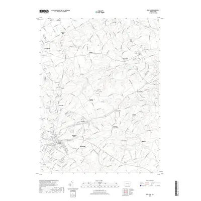
2019 Map of Red Lion
USGS Topo · Published 2019About this map
Red Lion serves as the primary hub of this York County landscape, where the town's dense street grid contrasts with the surrounding agricultural and industrial heritage. The map records a complex network of small settlements and historical industry sites, including the notable Margaretta Furnace and Leiphart Mill, reflecting the region's early manufacturing roots. Water management is a defining characteristic of the terrain, visible through the East Prospect Reservoir and the Red Lion Reservoir, which are fed by numerous local waterways such as Fishing Creek and Beaver Creek.
Find a feature on this map
244 named features on this map. Tap any name to fly to it.
Don’t see what you’re looking for? This feature index may not catch every label — zoom into the map to look around manually.
Map Details
Editions of this 2019 Red Lion Map
This is the sole edition of this map. No revisions or reprints were ever made.
Other maps of this area

1902 · Lancaster
USGS Topo · 1:62,500

1904 · Lancaster
USGS Topo · 1:62,500

1908 · Middletown
USGS Topo · 1:62,500

1908 · York
USGS Topo · 1:62,500

1910 · York
USGS Topo · 1:62,500

1912 · Mc Calls Ferry
USGS Topo · 1:62,500

1943 · Lancaster
USGS Topo · 1:62,500

1943 · Middletown
USGS Topo · 1:62,500

1943 · Mc Calls Ferry
USGS Topo · 1:62,500

1948 · Baltimore
USGS Topo · 1:250,000