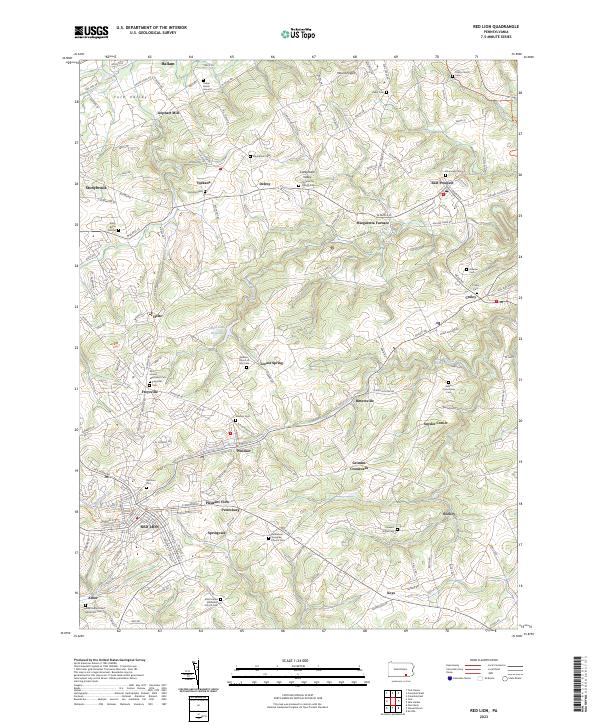
2023 Map of Red Lion
USGS Topo · Published 2023About this map
Red Lion and the surrounding York County countryside are defined by a network of small crossroads settlements and family burial grounds that trace the area's agrarian and industrial roots. The landscape moves from the developed corridors of York Valley and Stonybrook in the northwest toward the rolling terrain of the Conejohela Valley in the east. Historic industrial sites like Leiphart Mill and Margaretta Furnace reflect an era when local waterpower and mineral resources drove the economy.
Find a feature on this map
151 named features on this map. Tap any name to fly to it.
Don’t see what you’re looking for? This feature index may not catch every label — zoom into the map to look around manually.
Map Details
Editions of this 2023 Red Lion Map
This is the sole edition of this map. No revisions or reprints were ever made.
Other maps of this area

1902 · Lancaster
USGS Topo · 1:62,500

1904 · Lancaster
USGS Topo · 1:62,500

1908 · Middletown
USGS Topo · 1:62,500

1908 · York
USGS Topo · 1:62,500

1910 · York
USGS Topo · 1:62,500

1912 · Mc Calls Ferry
USGS Topo · 1:62,500

1943 · Lancaster
USGS Topo · 1:62,500

1943 · Middletown
USGS Topo · 1:62,500

1943 · Mc Calls Ferry
USGS Topo · 1:62,500

1948 · Baltimore
USGS Topo · 1:250,000