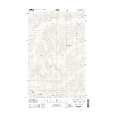
2014 Map of Red Meadow Lake
USGS Topo · Published 2014About this map
Flathead National Forest defines the high-altitude landscape of this 2014 survey, where the Whitefish Range crests near the border of Flathead and Lincoln counties. The area is dominated by significant peaks and alpine water bodies, including Akinkoka Peak and the cluster of Chain Lakes and Link Lake near Link Mtn. These features suggest a terrain shaped by glaciation, providing a clear view of the drainage patterns for Whale Cr and Red Meadow Cr.
Find a feature on this map
32 named features on this map. Tap any name to fly to it.
Don’t see what you’re looking for? This feature index may not catch every label — zoom into the map to look around manually.
Map Details
Editions of this 2014 Red Meadow Lake Map
This is the sole edition of this map. No revisions or reprints were ever made.
Other maps of this area

1906 · Kintla Lakes
USGS Topo · 1:125,000

1913 · Stryker
USGS Topo · 1:125,000

1916 · Stryker
USGS Topo · 1:125,000

1938 · Kintla Lakes
USGS Topo · 1:125,000

1957 · Kalispell
USGS Topo · 1:250,000

1960 · Kalispell
USGS Topo · 1:250,000

1961 · Kalispell
USGS Topo · 1:250,000

1966 · Red Meadow Lake
USGS Topo · 1:24,000
1966 · Bull Lake
USGS Topo · 1:24,000

1966 · Mount Hefty
USGS Topo · 1:24,000