
1906 Map of Red Mills
USGS Topo · Published 1906About this map
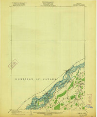
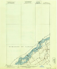
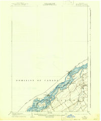
St. Lawrence River dominates this early twentieth-century survey, serving as the international boundary between Lisbon, New York, and the Dominion of Canada. The landscape is defined by the complex waterway of the Galop Rapids, where numerous small landmasses like Galop Island, Lalone I, and Sears I create a treacherous but vital corridor for commerce. On the northern bank, the Grand Trunk R R follows the shoreline through Iroquois and Cardinal, while the Toussaint Canal provides a bypass for vessels navigating the river's swiftest currents.
Find a feature on this map
38 named features on this map. Tap any name to fly to it.
Don’t see what you’re looking for? This feature index may not catch every label — zoom into the map to look around manually.
Map Details
Editions of this 1906 Red Mills Map
4 editions found
Other maps of this area

1904 · Lisbon
USGS Topo · 1:48,000

1904 · Ogdensburg
USGS Topo · 1:62,500

1905 · Waddington
USGS Topo · 1:62,500

1905 · Ogdensburg
USGS Topo · 1:62,500

1906 · Brier Hill
USGS Topo · 1:62,500

1910 · Canton
USGS Topo · 1:62,500

1911 · Canton
USGS Topo · 1:62,500

1942 · Waddington
USGS Topo · 1:24,000

1942 · Murphy Island
USGS Topo · 1:24,000

1943 · Ogdensburg East
USGS Topo · 1:31,680