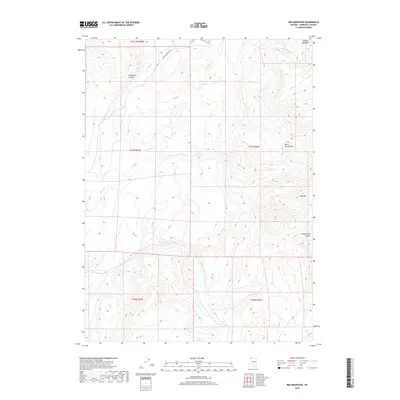
2018 Map of Red Mountain
USGS Topo · Published 2018About this map
Black Rock Range and the high desert terrain of northern Humboldt County define this 2018 U.S. Geological Survey representation. The landscape is carved by a complex network of ephemeral drainages, including Slumgullion Cr and Colman Cr, which navigate the steep elevations between Red Mtn and Summit Lake Mtn. While largely devoid of permanent settlements, the area is accessible via the Soldier Meadows Rd, a critical transit point for this part of the Nevada backcountry. Local landmarks like Tule Spring provide vital water points in an otherwise arid environment, while Tollhouse Canyon and White Rock Canyon show the erosional forces that have shaped the High Desert's topography over millennia. This map captures the remote character of the region, emphasizing its status as a place of transit and rugged natural resources.
Find a feature on this map
16 named features on this map. Tap any name to fly to it.
Don’t see what you’re looking for? This feature index may not catch every label — zoom into the map to look around manually.
Map Details
Editions of this 2018 Red Mountain Map
This is the sole edition of this map. No revisions or reprints were ever made.
Other maps of this area

1886 · Disaster
USGS Topo · 1:250,000

1889 · Long Valley
USGS Topo · 1:250,000

1893 · Disaster
USGS Topo · 1:250,000

1954 · Vya
USGS Topo · 1:250,000

1958 · Vya
USGS Topo · 1:250,000

1962 · Vya
USGS Topo · 1:250,000

1965 · Idaho Canyon
USGS Topo · 1:62,500

1965 · Rock Spring Table
USGS Topo · 1:62,500

1972 · Mud Meadow
USGS Topo · 1:24,000

1972 · Soldier Meadow
USGS Topo · 1:24,000