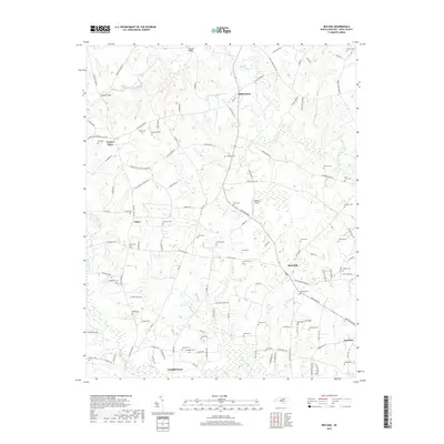
2019 Map of Red Oak
USGS Topo · Published 2019About this map
Red Oak and the surrounding rural landscapes of Nash County are defined by a dense network of family cemeteries and small agricultural communities. This 2019 survey captures the area north of Nashville, where established nodes like Hilliardston, Dortches, and Taylors Store serve as local landmarks. The terrain is structured by winding waterways, including Swift Creek and Sandy Creek, which are spanned by historic crossings such as Coopers Bridge and Drakes Bridge.
Find a feature on this map
121 named features on this map. Tap any name to fly to it.
Don’t see what you’re looking for? This feature index may not catch every label — zoom into the map to look around manually.
Map Details
Editions of this 2019 Red Oak Map
This is the sole edition of this map. No revisions or reprints were ever made.
Other maps of this area

1902 · Rocky Mount
USGS Topo · 1:62,500

1902 · Spring Hope
USGS Topo · 1:62,500

1904 · Rocky Mount
USGS Topo · 1:62,500

1904 · Springhope
USGS Topo · 1:62,500

1953 · Norfolk
USGS Topo · 1:250,000

1953 · Rocky Mount
USGS Topo · 1:250,000

1953 · Raleigh
USGS Topo · 1:250,000

1953 · Greensboro
USGS Topo · 1:250,000

1954 · Greensboro
USGS Topo · 1:250,000

1954 · Rocky Mount
USGS Topo · 1:250,000