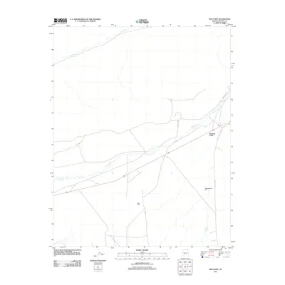
2011 Map of Red Point
USGS Topo · Published 2011About this map
Laguna Creek winds across this high desert landscape in Apache County, defining the drainage patterns through the center of the region. The map captures the area around the settlement of Diamond Fields, where local travel is facilitated by a network of routes including Indian Rte 6460 and Indian Rte 118. The terrain is marked by distinctive named landforms such as the expansive Greasewood Flat to the southeast and the namesake Red Point prominence. In the northern reaches, the broad corridor of Cane Valley provides a clear geographic boundary, illustrating the sparse but organized settlement pattern of this part of the Navajo Nation during the early 21st century.
Find a feature on this map
8 named features on this map. Tap any name to fly to it.
Don’t see what you’re looking for? This feature index may not catch every label — zoom into the map to look around manually.
Map Details
Editions of this 2011 Red Point Map
This is the sole edition of this map. No revisions or reprints were ever made.
Other maps of this area

1883 · Marsh Pass
USGS Topo · 1:250,000

1892 · Marsh Pass
USGS Topo · 1:250,000

1892 · Canyon De Chelly
USGS Topo · 1:250,000

1952 · Dinnehotso
USGS Topo · 1:62,500

1952 · Agathla Peak 1 NE
USGS Topo · 1:24,000

1952 · Agathla Peak 1 SE
USGS Topo · 1:24,000

1952 · Setsiltso Springs 2 NW
USGS Topo · 1:24,000

1952 · Setsiltso Springs 2 SW
USGS Topo · 1:24,000

1952 · Setsiltso Springs 2 SE
USGS Topo · 1:24,000

1952 · Agathla Peak
USGS Topo · 1:62,500