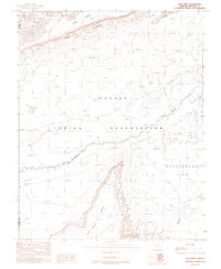
1988 Map of Red Point
USGS Topo · Published 1988About this map
Dennehotso serves as a focal point for this high-desert landscape on the Navajo Indian Reservation during the late 1980s. The settlement's infrastructure is clearly visible, including the Dennehotso Cemetery, a Landing Strip, and a Rodeo Ground situated near the banks of Laguna Creek. The topography is dominated by significant geological formations, most notably the prominent Comb Ridge to the north and the expansive Red Point Mesa to the south.
Find a feature on this map
16 named features on this map. Tap any name to fly to it.
Don’t see what you’re looking for? This feature index may not catch every label — zoom into the map to look around manually.
Map Details
Editions of this 1988 Red Point Map
This is the sole edition of this map. No revisions or reprints were ever made.
Other maps of this area

1883 · Marsh Pass
USGS Topo · 1:250,000

1892 · Marsh Pass
USGS Topo · 1:250,000

1892 · Canyon De Chelly
USGS Topo · 1:250,000

1952 · Dinnehotso
USGS Topo · 1:62,500

1952 · Agathla Peak 1 NE
USGS Topo · 1:24,000

1952 · Agathla Peak 1 SE
USGS Topo · 1:24,000

1952 · Setsiltso Springs 2 NW
USGS Topo · 1:24,000

1952 · Setsiltso Springs 2 SW
USGS Topo · 1:24,000

1952 · Setsiltso Springs 2 SE
USGS Topo · 1:24,000

1952 · Agathla Peak
USGS Topo · 1:62,500