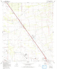
1980 Map of Red Rock
USGS Topo · Published 1993About this map
The Santa Cruz River and Los Robles Wash define the hydrology of this desert basin, which in the early 1980s supported a mix of utility infrastructure and aviation activity. The Saguaro Power Plant stands as a prominent industrial landmark near Avra, while the extensive layout of the Marana Air Park occupies the southern portion of the sheet. This area is characterized by utility corridors and water management features like Wilmonts Pond and Double Tank, reflecting the efforts to sustain operations in an arid landscape.
Find a feature on this map
23 named features on this map. Tap any name to fly to it.
Don’t see what you’re looking for? This feature index may not catch every label — zoom into the map to look around manually.
Map Details
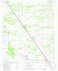
Editions of this 1980 Red Rock Map
2 editions found
Other maps of this area

1934 · Tucson Mountains
USGS Topo · 1:125,000

1934 · Newman Peak
USGS Topo · 1:125,000

1947 · Cortaro
USGS Topo · 1:62,500

1947 · Red Rock
USGS Topo · 1:62,500

1956 · Tucson
USGS Topo · 1:250,000

1957 · Cortaro
USGS Topo · 1:62,500

1958 · Tucson
USGS Topo · 1:250,000

1959 · Tucson
USGS Topo · 1:250,000

1959 · Tortolita Mts
USGS Topo · 1:62,500
1959 · Silver Bell Peak
USGS Topo · 1:62,500