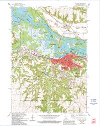
1974 Map of Red Wing
USGS Topo · Published 1994About this map
The Mississippi River creates a complex landscape of islands and channels where Minnesota meets Wisconsin, anchored by the river town of Red Wing. High bluffs like Barn Bluff and Sorins Bluff dominate the local topography, overlooking a dense network of industrial and civic landmarks including the Courthouse, City Hall, and Soldiers Memorial Park. The river's engineering is evident at Lock and Dam No 3 and the Gaging Sta, while the Wisconsin Channel separates the main town from the scattered settlements of Hager City and Trenton.
Find a feature on this map
72 named features on this map. Tap any name to fly to it.
Don’t see what you’re looking for? This feature index may not catch every label — zoom into the map to look around manually.
Map Details
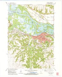
Editions of this 1974 Red Wing Map
2 editions found
Other maps of this area

1940 · Maiden Rock
USGS Topo · 1:62,500

1944 · Red Wing
USGS Topo · 1:62,500

1950 · Maiden Rock
USGS Topo · 1:62,500

1951 · Lake City
USGS Topo · 1:62,500

1952 · Red Wing
USGS Topo · 1:62,500

1953 · Saint Paul
USGS Topo · 1:250,000

1959 · Saint Paul
USGS Topo · 1:250,000

1968 · Goodhue East
USGS Topo · 1:24,000
1968 · Goodhue West
USGS Topo · 1:24,000
1974 · Lake City NW
USGS Topo · 1:24,000