Loading...
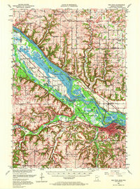
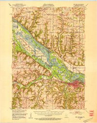
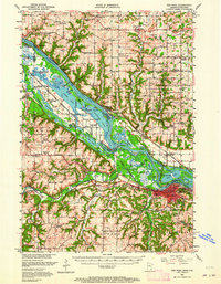
Loading map...1952 Map of Red Wing
USGS Topo · Published 1972About this map
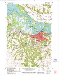
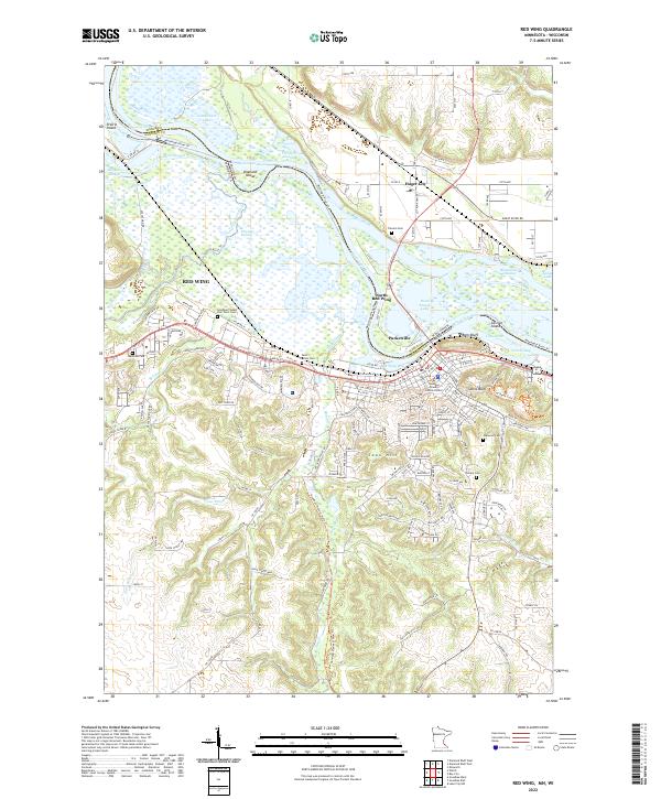
Red Wing serves as the focal point of this mid-century landscape, situated where the Mississippi River creates a complex network of backwaters and islands. The river is a corridor of industrial and transport activity, evidenced by the convergence of the Chicago Milwaukee St Paul and Pacific RR and other major lines that follow the shoreline. To the northwest, the Prairie Island Indian Reservation is prominently delineated, including the Prairie Island Indian Sch and numerous sloughs like Buffalo Slough and Indian Slough.
Find a feature on this map
122 named features on this map. Tap any name to fly to it.
Don’t see what you’re looking for? This feature index may not catch every label — zoom into the map to look around manually.
Map Details
Date Portrayed1952
Date Published1972
PublisherU.S. Geological Survey
Map TypeTopographic
Scale1:62,500
Physical Dimensions15.5 x 20.9 inches
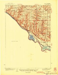
Editions of this 1952 Red Wing Map
3 editions found
Historical Maps of Red Wing Through Time
8 maps found
Featured Locations
Source Details
SourceU.S. Geological Survey
CopyrightPublic Domain