
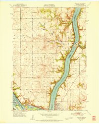
1951 Map of Prescott
USGS Topo · Published 1951About this map
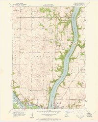
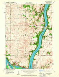
The confluence of the Mississippi River and Lake St Croix creates a striking geographical centerpiece where Minnesota and Wisconsin meet. At the southern junction, Point Douglas and the City of Hastings stand opposite Prescott, linked by the massive Hastings Lock & Dam complex. The landscape is defined by the high bluffs of Denmark and Clifton townships, carved by deep ravines like Barkley Coulee and Trout Brook. Evidence of early community organization is abundant, with several rural schoolhouses—such as Eden Grove Sch, Basswood Grove Sch, and Pennington Sch—serving the farming districts. Heavy industrial and transport infrastructure, including the Chicago Milwaukee St Paul and Pacific railroad, follows the riverbank, supporting the regional grain and timber trade centered around Elevator Bay.
Find a feature on this map
42 named features on this map. Tap any name to fly to it.
Don’t see what you’re looking for? This feature index may not catch every label — zoom into the map to look around manually.
Map Details
Editions of this 1951 Prescott Map
4 editions found
Other maps of this area

1944 · Red Wing
USGS Topo · 1:62,500

1946 · Hudson
USGS Topo · 1:62,500

1946 · River Falls
USGS Topo · 1:62,500

1949 · River Falls
USGS Topo · 1:62,500

1949 · Hudson
USGS Topo · 1:62,500

1949 · Lake Elmo
USGS Topo · 1:24,000

1949 · Hudson
USGS Topo · 1:24,000

1950 · Lake Elmo
USGS Topo · 1:24,000

1950 · Hudson
USGS Topo · 1:24,000

1950 · St Paul Park
USGS Topo · 1:24,000