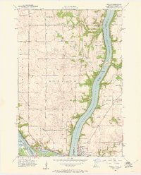
1951 Map of Prescott
USGS Topo · Published 1961About this map
Lake St Croix dominates the center of this mid-century survey, marking the vital confluence where its waters meet the Mississippi River at Point Douglas. The landscape reveals a post-war rural infrastructure defined by township boundaries like Denmark and Clifton, where small local schools such as Eden Grove Sch and School No 49 served dispersed farming communities. Along the Wisconsin shore, the Kinnickinnic River feeds into the lake near the Kinnickinnic Sand Bar, while the western banks show the industrial footprint of the City of Hastings near the Hastings Lock & Dam.
Find a feature on this map
40 named features on this map. Tap any name to fly to it.
Don’t see what you’re looking for? This feature index may not catch every label — zoom into the map to look around manually.
Map Details
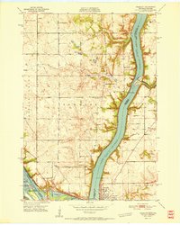
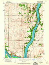
Editions of this 1951 Prescott Map
4 editions found

Other maps of this area

1944 · Red Wing
USGS Topo · 1:62,500

1946 · Hudson
USGS Topo · 1:62,500

1946 · River Falls
USGS Topo · 1:62,500

1949 · River Falls
USGS Topo · 1:62,500

1949 · Hudson
USGS Topo · 1:62,500

1949 · Lake Elmo
USGS Topo · 1:24,000

1949 · Hudson
USGS Topo · 1:24,000

1950 · Lake Elmo
USGS Topo · 1:24,000

1950 · Hudson
USGS Topo · 1:24,000

1950 · St Paul Park
USGS Topo · 1:24,000