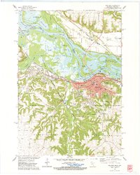
1974 Map of Red Wing
USGS Topo · Published 1978About this map
The Mississippi River valley at Red Wing dominates this mid-1970s topographical record, showing the city’s complex relationship with the water and the surrounding limestone bluffs. Infrastructure such as Lock and Dam No. 3 and the Gaging Station manage the river flow, while the city's street grid presses against Barn Bluff and the rising terrain of Coon Hill. To the north, the Wisconsin shoreline features Hager City and Trenton, areas defined by the expansive Pierce County Islands State Public Hunting Grounds and numerous waterways like Catfish Slu and Trimbelle River. Transportation corridors are well-established, with the Burlington Northern and the Chicago Milwaukee St Paul and Pacific railroads following the river's path. Local institutions are well represented, including Oakwood Cemetery, St Josephs Sch, and the Vocational Tech Institute, grounding the map in the community's daily life during this era.
Find a feature on this map
87 named features on this map. Tap any name to fly to it.
Don’t see what you’re looking for? This feature index may not catch every label — zoom into the map to look around manually.
Map Details
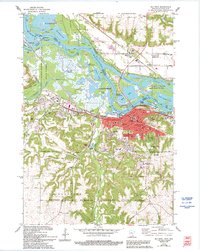
Editions of this 1974 Red Wing Map
2 editions found
Other maps of this area

1940 · Maiden Rock
USGS Topo · 1:62,500

1944 · Red Wing
USGS Topo · 1:62,500

1950 · Maiden Rock
USGS Topo · 1:62,500

1951 · Lake City
USGS Topo · 1:62,500

1952 · Red Wing
USGS Topo · 1:62,500

1953 · Saint Paul
USGS Topo · 1:250,000

1959 · Saint Paul
USGS Topo · 1:250,000

1968 · Goodhue East
USGS Topo · 1:24,000
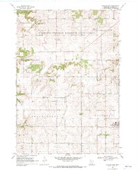
1968 · Goodhue West
USGS Topo · 1:24,000
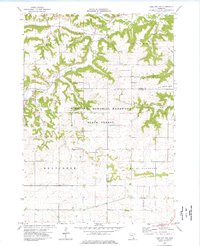
1974 · Lake City NW
USGS Topo · 1:24,000