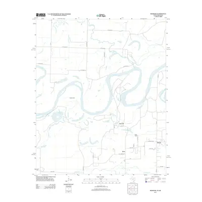
2013 Map of Redbank
USGS Topo · Published 2013About this map
The Red River carves a complex, serpentine path through this low-lying borderland between Texas and Arkansas, creating a landscape defined by dramatic oxbows and abandoned river channels. Small rural communities like Smith Hill, Burns, and Redbank are situated on the higher ground north of the extensive alluvial flats known as Black Bottom. The intricate hydrology of the area is evident in the numerous cutoff lakes and sloughs, including Applewhite Cut-off Lake, Hudson Bow, and La Voice Lake, which mark the river's historical migrations through the floodplain.
Find a feature on this map
45 named features on this map. Tap any name to fly to it.
Don’t see what you’re looking for? This feature index may not catch every label — zoom into the map to look around manually.
Map Details
Editions of this 2013 Redbank Map
This is the sole edition of this map. No revisions or reprints were ever made.
Other maps of this area

1909 · New Boston
USGS Topo · 1:62,500

1909 · Texarkana
USGS Topo · 1:62,500

1950 · Redbank
USGS Topo · 1:24,000

1950 · Ashdown West
USGS Topo · 1:24,000

1950 · Barkman
USGS Topo · 1:24,000

1951 · Redbank
USGS Topo · 1:24,000

1951 · Ashdown West
USGS Topo · 1:24,000

1951 · Barkman
USGS Topo · 1:24,000

1951 · Arden
USGS Topo · 1:24,000

1951 · Foreman
USGS Topo · 1:24,000