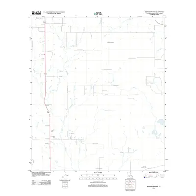
2012 Map of Redhead Branch
USGS Topo · Published 2012About this map
Industrial energy production and rural family homesteads define this portion of Beauregard Parish in the early 21st century. The landscape is heavily marked by fossil fuel extraction, with the East Tulla Gas Field in the north and the Caney Creek Oil Field and East Caney Creek Oil and Gas Field occupying the southern reaches. These industrial sites are interspersed among a network of local roads named for prominent area families, such as Marvin Shirley Rd, Harvey Moses Rd, and Bob Ensminger Rd.
Find a feature on this map
64 named features on this map. Tap any name to fly to it.
Don’t see what you’re looking for? This feature index may not catch every label — zoom into the map to look around manually.
Map Details
Editions of this 2012 Redhead Branch Map
This is the sole edition of this map. No revisions or reprints were ever made.
Other maps of this area

1935 · Longville
USGS Topo · 1:31,680

1947 · DeRidder
USGS Topo · 1:31,680

1947 · Kernan
USGS Topo · 1:31,680

1947 · Ikes
USGS Topo · 1:31,680

1947 · Reeves
USGS Topo · 1:31,680

1947 · Longville
USGS Topo · 1:31,680

1947 · Bundick
USGS Topo · 1:31,680

1947 · Beckwith School
USGS Topo · 1:31,680

1947 · Sugartown
USGS Topo · 1:31,680

1947 · Bannister
USGS Topo · 1:31,680