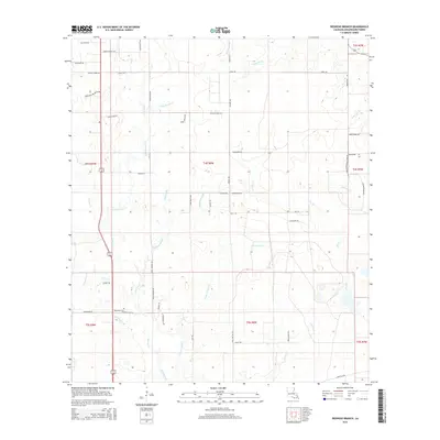
2015 Map of Redhead Branch
USGS Topo · Published 2015About this map
Redhead Branch and Little Barnes Creek wind through this section of Beauregard Parish, a landscape defined by an intricate network of local drainage ways and timbered tracts. The presence of Mennonite Rd and Memorial Church suggests the cultural and religious fabric of the rural communities established here. Many of the thoroughfares, such as Marvin Shirley Rd, Harvey Moses Rd, and Dean Cryar Rd, appear to be named for local families, offering a direct link for genealogists tracing ancestral landholdings. In the southern portion of the quadrangle, the Barentine Cem stands near the headwaters of Barrantine Br, marking a quiet point of local history. The road network, including Broussard Green Town Rd, reveals the layout of rural access routes connecting scattered farmsteads and creek crossings throughout the early 21st century.
Find a feature on this map
60 named features on this map. Tap any name to fly to it.
Don’t see what you’re looking for? This feature index may not catch every label — zoom into the map to look around manually.
Map Details
Editions of this 2015 Redhead Branch Map
This is the sole edition of this map. No revisions or reprints were ever made.
Other maps of this area

1935 · Longville
USGS Topo · 1:31,680

1947 · DeRidder
USGS Topo · 1:31,680

1947 · Kernan
USGS Topo · 1:31,680

1947 · Ikes
USGS Topo · 1:31,680

1947 · Reeves
USGS Topo · 1:31,680

1947 · Longville
USGS Topo · 1:31,680

1947 · Bundick
USGS Topo · 1:31,680

1947 · Beckwith School
USGS Topo · 1:31,680

1947 · Sugartown
USGS Topo · 1:31,680

1947 · Bannister
USGS Topo · 1:31,680