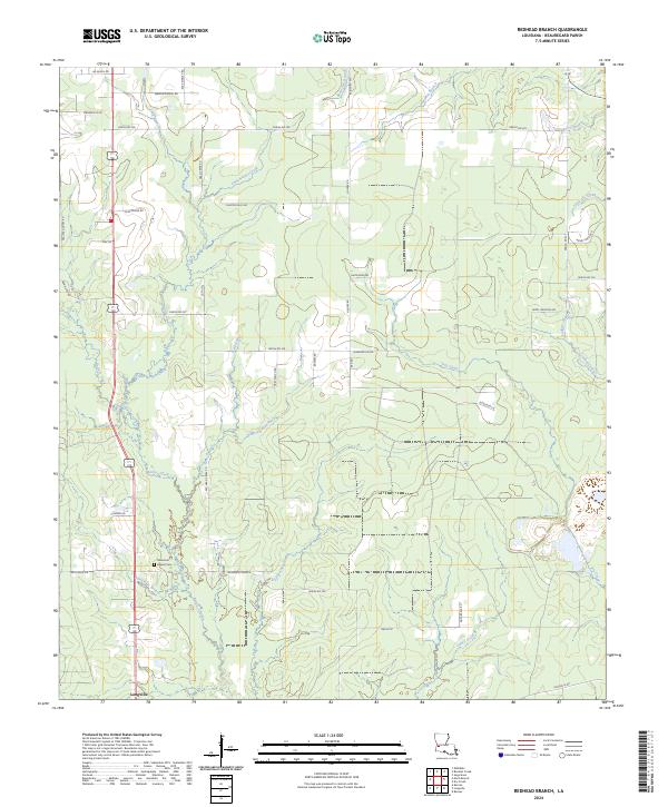
2024 Map of Redhead Branch
USGS Topo · Published 2024About this map
Longville serves as the primary settlement center in this portion of Beauregard Parish, situated at a crossroads where agricultural lands meet the dense drainage networks of the Louisiana piney woods. The landscape is defined by the intricate winding of Barnes Creek and its many tributaries, including Redhead Branch and Barrantine Branch. These waterways once dictated the placement of early homesteads and logging tracks, many of which are now formalized as parish roads. Local history is anchored by Memorial Church and the Memorial Baptist Cem, providing essential points of interest for genealogists tracing family lineages in the region. The map reveals a transition from the structured grid of rural road names like Lee Eason Rd and Dean Cryar Rd to the natural, meandering paths of Caney Creek and Long Gully in the south.
Find a feature on this map
60 named features on this map. Tap any name to fly to it.
Don’t see what you’re looking for? This feature index may not catch every label — zoom into the map to look around manually.
Map Details
Editions of this 2024 Redhead Branch Map
This is the sole edition of this map. No revisions or reprints were ever made.
Other maps of this area

1935 · Longville
USGS Topo · 1:31,680

1947 · DeRidder
USGS Topo · 1:31,680

1947 · Kernan
USGS Topo · 1:31,680

1947 · Ikes
USGS Topo · 1:31,680

1947 · Reeves
USGS Topo · 1:31,680

1947 · Longville
USGS Topo · 1:31,680

1947 · Bundick
USGS Topo · 1:31,680

1947 · Beckwith School
USGS Topo · 1:31,680

1947 · Sugartown
USGS Topo · 1:31,680

1947 · Bannister
USGS Topo · 1:31,680