
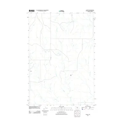
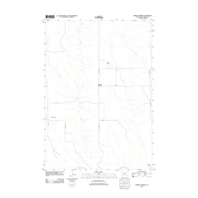
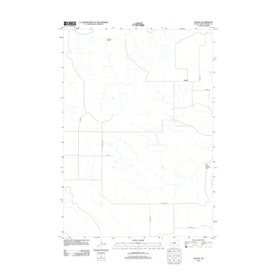
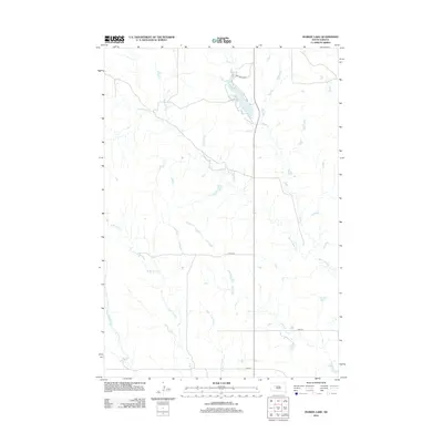
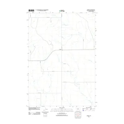
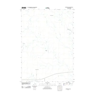
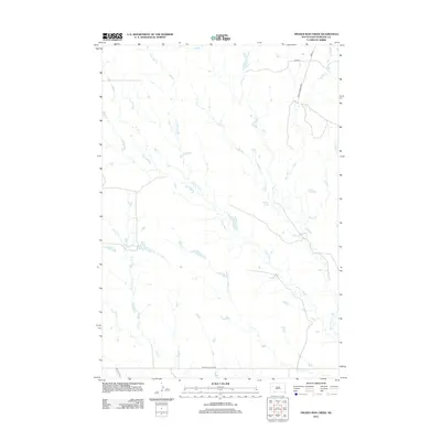
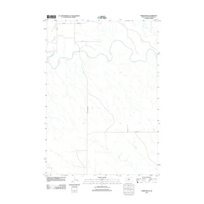
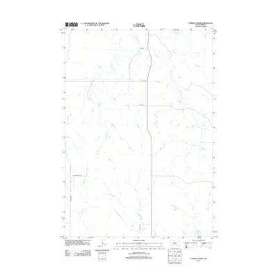
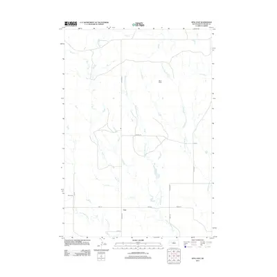
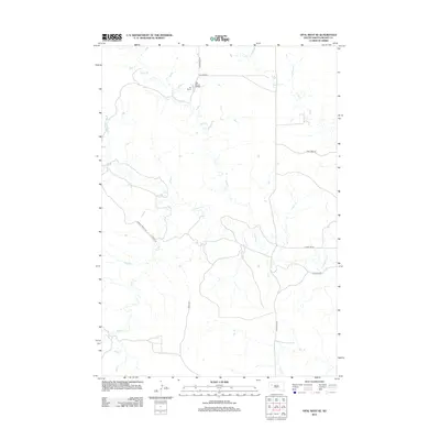
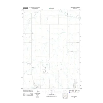
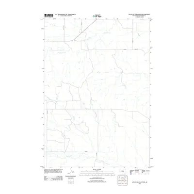
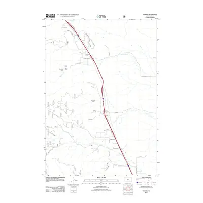
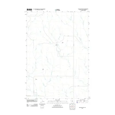
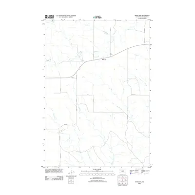
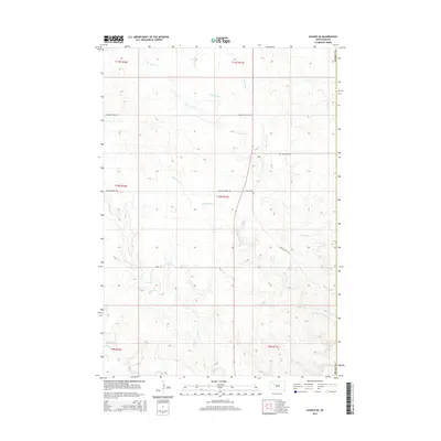
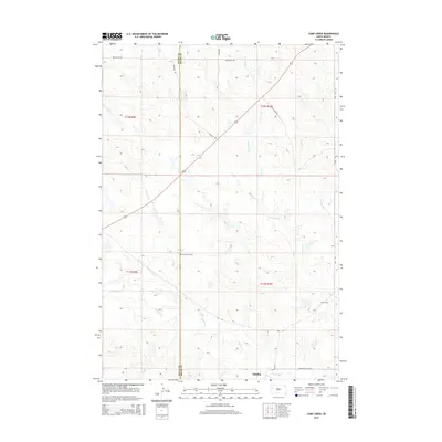
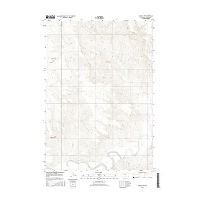
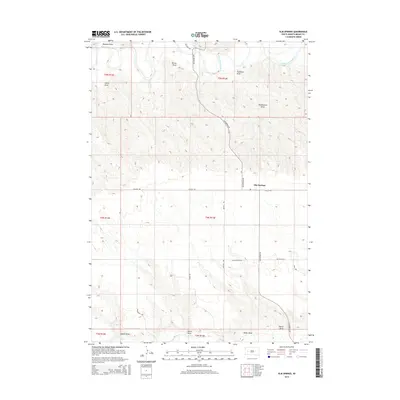
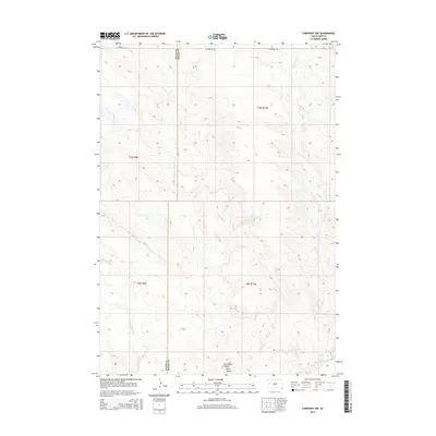
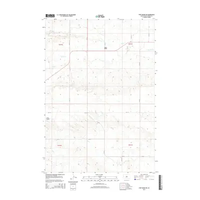
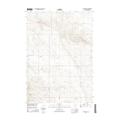
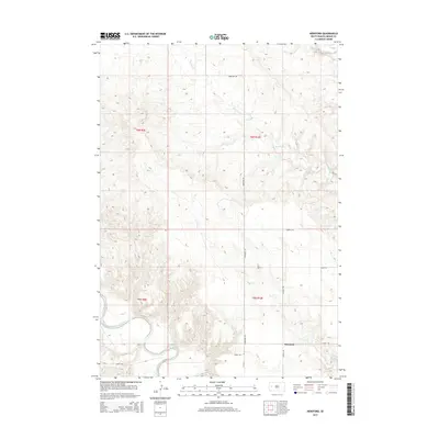
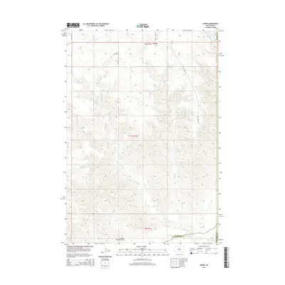
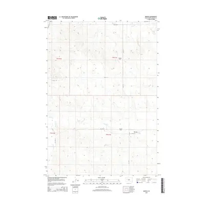
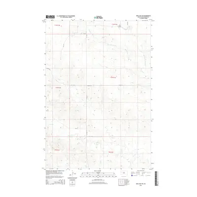
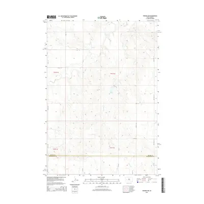
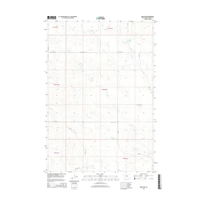
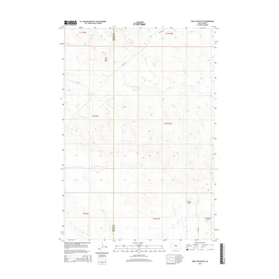
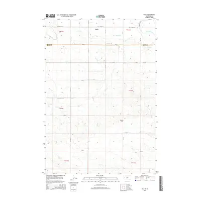
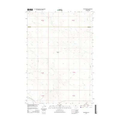
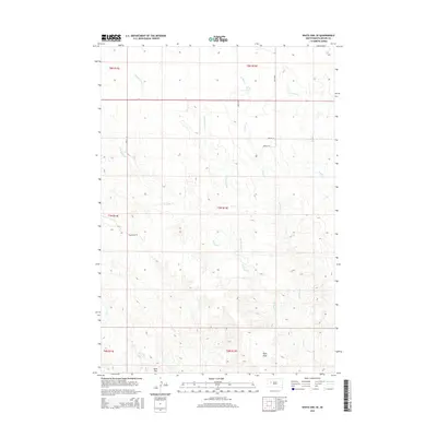
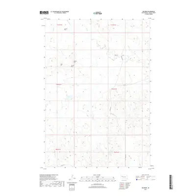
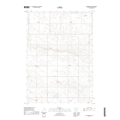
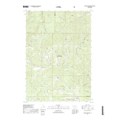
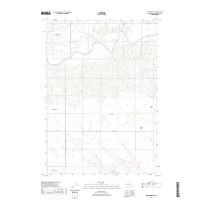
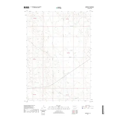
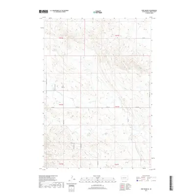
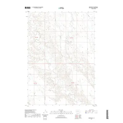
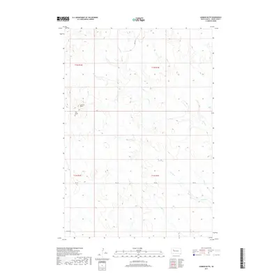
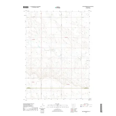
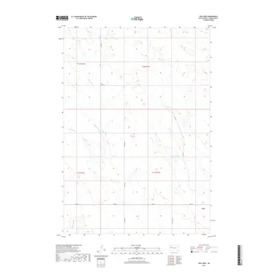
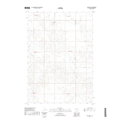
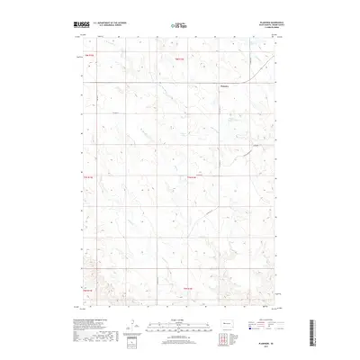
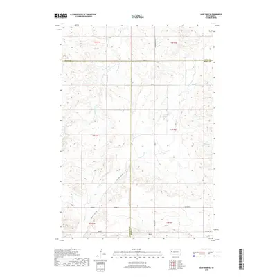
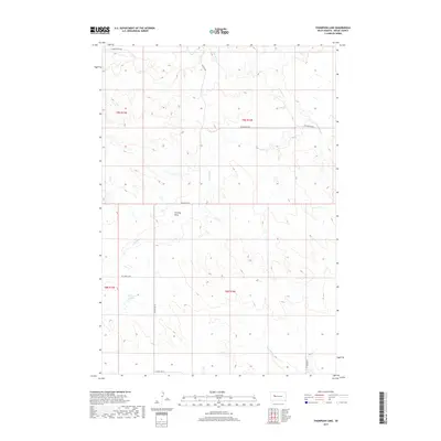
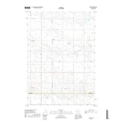
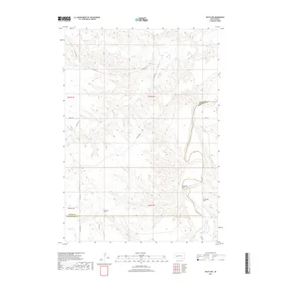
1959 Map of Redowl
USGS Topo · Published 1960About this map
Redowl and Stoneville anchor this mid-century topographic portrait of Meade County, where the plains are defined by an intricate network of seasonal drainages. The landscape is carved by the meandering paths of Red Owl Creek and White Owl Creek, illustrating the importance of water access in this high-prairie ranching country. The rural social fabric of the late 1950s is evidenced by the presence of North Red Owl Sch and Sunny Slope Sch, as well as the Pleasant View Cem, which serves as a central landmark for the local community.
Find a feature on this map
17 named features on this map. Tap any name to fly to it.
Don’t see what you’re looking for? This feature index may not catch every label — zoom into the map to look around manually.
Map Details
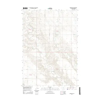
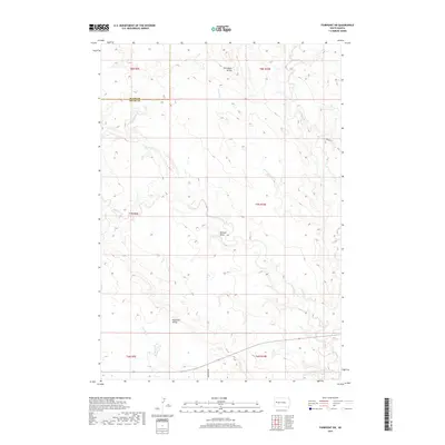
Editions of this 1959 Redowl Map
This is the sole edition of this map. No revisions or reprints were ever made.
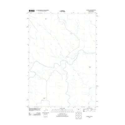
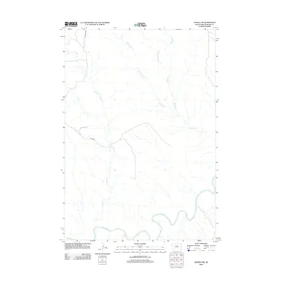
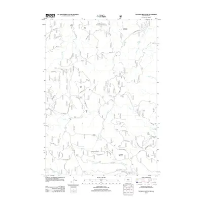
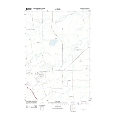
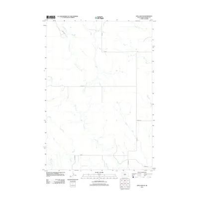
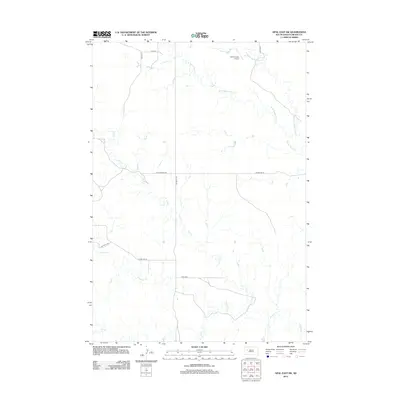
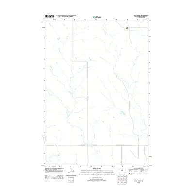
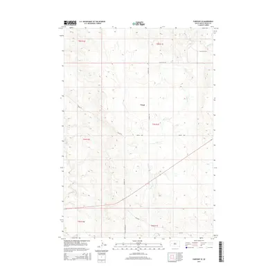
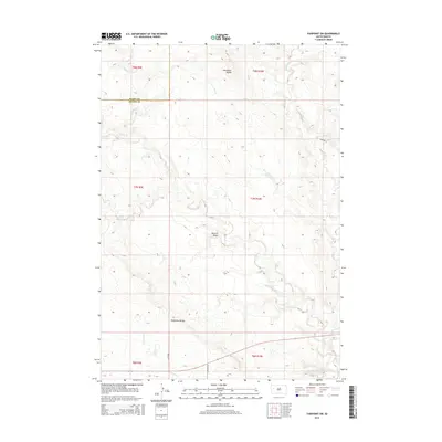
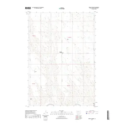
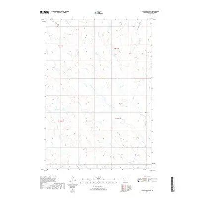
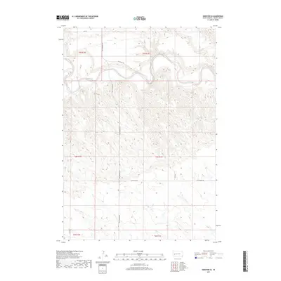
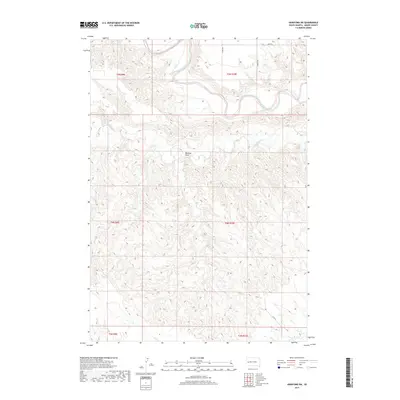
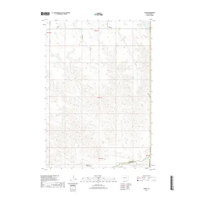
Historical Maps of Red Owl Through Time
318 maps found

1893 Rapid
Meade County, SD

1898 Rapid
Meade County, SD

1903 Rapid
Meade County, SD

1951 Vale SE
Meade County, SD

1951 Volunteer
Meade County, SD

1951 Volunteer SE
Meade County, SD

1953 Bend
Meade County, SD

1953 Cottonwood Draw
Meade County, SD

1953 Elm Creek
Meade County, SD

1953 Fort Meade
Meade County, SD

1953 Fort Meade NE
Meade County, SD

1953 Fort Meade SE
Meade County, SD

1953 Hereford
Meade County, SD

1953 Hereford NE
Meade County, SD

1953 Hereford SE
Meade County, SD

1953 Hereford SW
Meade County, SD

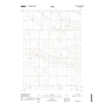
1953 Lone Tree Creek
Meade County, SD

1953 New Underwood NW
Meade County, SD

1953 Rapid City NW
Meade County, SD

1953 South of Volunteer
Meade County, SD

1953 Tilford
Meade County, SD

1953 Viewfield
Meade County, SD

1954 Boneita Springs
Meade County, SD

1954 Dalzell
Meade County, SD

1954 Dalzell NE
Meade County, SD

1954 Dalzell NW
Meade County, SD

1954 Deadman Mountain
Meade County, SD

1954 Elm Springs
Meade County, SD

1954 Elm Springs SW
Meade County, SD

1954 Haydraw
Meade County, SD

1954 Saint Onge SE
Meade County, SD

1954 Wasta NW
Meade County, SD

1955 Howes
Meade County, SD

1957 Owanka NE
Meade County, SD

1957 Owanka NW
Meade County, SD

1959 Enning
Meade County, SD

1959 Fairpoint
Meade County, SD

1959 Fairpoint NW
Meade County, SD

1959 Fairpoint SE
Meade County, SD

1959 Fairpoint SW
Meade County, SD
1959 Redowl
Meade County, SD

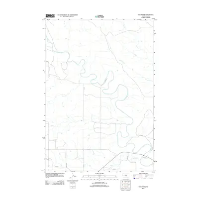
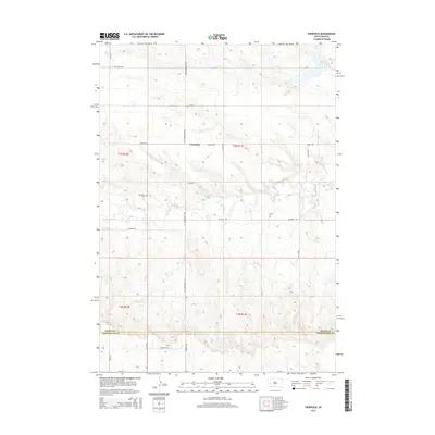
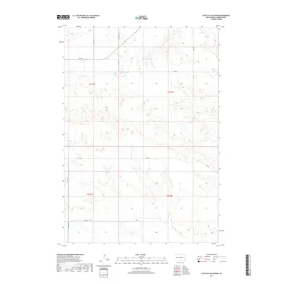
1959 Stoneville
Meade County, SD

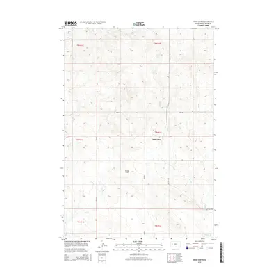
1959 Union Center
Meade County, SD

1973 Frozen Man Creek
Meade County, SD

1977 Table Top Butte
Meade County, SD

1978 Bull Run Creek
Meade County, SD

1978 Camp Creek
Meade County, SD

1983 Avance
Meade County, SD

1983 Avance SE
Meade County, SD

1983 Big Draw
Meade County, SD

1983 Durkee Lake
Meade County, SD

1983 Lemmon Butte
Meade County, SD

1983 Lemmon Creek
Meade County, SD

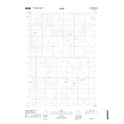
1983 Marcus
Meade County, SD

1983 Opal East
Meade County, SD

1983 Opal East SE
Meade County, SD

1983 Opal East SW
Meade County, SD

1983 Opal West SE
Meade County, SD

1983 Plainview
Meade County, SD

1983 Reed Dam
Meade County, SD

1983 Squaw Buttes
Meade County, SD

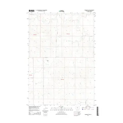
1983 Thompson Lake
Meade County, SD

1983 Whiteman Owl
Meade County, SD

1983 Whiteman Owl NW
Meade County, SD

1983 Whiteman Owl SE
Meade County, SD

1984 Camp Creek
Meade County, SD
2012 Avance
Meade County, SD
2012 Avance SE
Meade County, SD
2012 Bend
Meade County, SD
2012 Big Draw
Meade County, SD
2012 Boneita Springs
Meade County, SD
2012 Bull Run Creek
Meade County, SD
2012 Camp Creek
Meade County, SD
2012 Cottonwood Draw
Meade County, SD
2012 Dalzell
Meade County, SD
2012 Dalzell NE
Meade County, SD
2012 Dalzell NW
Meade County, SD
2012 Deadman Mountain
Meade County, SD
2012 Durkee Lake
Meade County, SD
2012 Elm Creek
Meade County, SD
2012 Elm Springs
Meade County, SD
2012 Elm Springs SW
Meade County, SD
2012 Enning
Meade County, SD
2012 Fairpoint
Meade County, SD
2012 Fairpoint NW
Meade County, SD
2012 Fairpoint SE
Meade County, SD
2012 Fairpoint SW
Meade County, SD
2012 Fort Meade
Meade County, SD
2012 Fort Meade NE
Meade County, SD
2012 Fort Meade SE
Meade County, SD
2012 Frozen Man Creek
Meade County, SD
2012 Haydraw
Meade County, SD
2012 Hereford
Meade County, SD
2012 Hereford NE
Meade County, SD
2012 Hereford SE
Meade County, SD
2012 Hereford SW
Meade County, SD
2012 Howes
Meade County, SD
2012 Lemmon Butte
Meade County, SD
2012 Lemmon Creek
Meade County, SD
2012 Lone Tree Creek
Meade County, SD
2012 Marcus
Meade County, SD
2012 New Underwood NW
Meade County, SD
2012 Opal East
Meade County, SD
2012 Opal East SE
Meade County, SD
2012 Opal East SW
Meade County, SD
2012 Opal West
Meade County, SD
2012 Opal West SE
Meade County, SD
2012 Owanka NE
Meade County, SD
2012 Owanka NW
Meade County, SD
2012 Plainview
Meade County, SD
2012 Rapid City NW
Meade County, SD
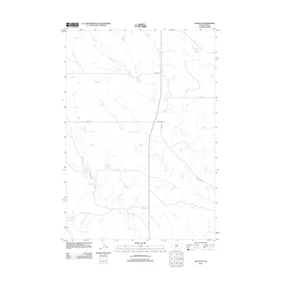
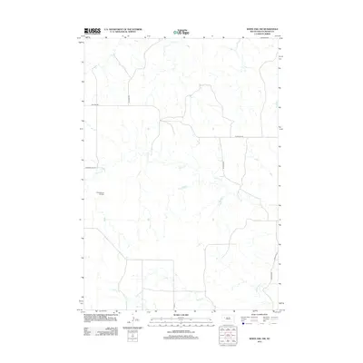
2012 Redowl
Meade County, SD
2012 Reed Dam
Meade County, SD
2012 Saint Onge SE
Meade County, SD
2012 South of Volunteer
Meade County, SD
2012 Stoneville
Meade County, SD
2012 Table Top Butte
Meade County, SD
2012 Thompson Lake
Meade County, SD
2012 Tilford
Meade County, SD
2012 Union Center
Meade County, SD
2012 Vale SE
Meade County, SD
2012 Viewfield
Meade County, SD
2012 Vig Buttes
Meade County, SD
2012 Volunteer
Meade County, SD
2012 Volunteer SE
Meade County, SD
2012 Wasta NW
Meade County, SD
2012 White Owl
Meade County, SD
2012 White Owl NW
Meade County, SD
2012 White Owl SE
Meade County, SD
2015 Avance
Meade County, SD
2015 Avance SE
Meade County, SD
2015 Bend
Meade County, SD
2015 Big Draw
Meade County, SD

2015 Boneita Springs
Meade County, SD
2015 Bull Run Creek
Meade County, SD
2015 Camp Creek
Meade County, SD
2015 Cottonwood Draw
Meade County, SD
2015 Dalzell
Meade County, SD
2015 Dalzell NE
Meade County, SD
2015 Dalzell NW
Meade County, SD
2015 Deadman Mountain
Meade County, SD
2015 Durkee Lake
Meade County, SD
2015 Elm Creek
Meade County, SD
2015 Elm Springs
Meade County, SD
2015 Elm Springs SW
Meade County, SD
2015 Enning
Meade County, SD
2015 Fairpoint
Meade County, SD
2015 Fairpoint NW
Meade County, SD
2015 Fairpoint SE
Meade County, SD
2015 Fairpoint SW
Meade County, SD
2015 Fort Meade
Meade County, SD
2015 Fort Meade NE
Meade County, SD
2015 Fort Meade SE
Meade County, SD
2015 Frozen Man Creek
Meade County, SD
2015 Haydraw
Meade County, SD
2015 Hereford
Meade County, SD
2015 Hereford NE
Meade County, SD
2015 Hereford SE
Meade County, SD
2015 Hereford SW
Meade County, SD
2015 Howes
Meade County, SD
2015 Lemmon Butte
Meade County, SD
2015 Lemmon Creek
Meade County, SD
2015 Lone Tree Creek
Meade County, SD
2015 Marcus
Meade County, SD
2015 New Underwood NW
Meade County, SD
2015 Opal East
Meade County, SD
2015 Opal East SE
Meade County, SD
2015 Opal East SW
Meade County, SD
2015 Opal West
Meade County, SD
2015 Opal West SE
Meade County, SD
2015 Owanka NE
Meade County, SD
2015 Owanka NW
Meade County, SD
2015 Plainview
Meade County, SD
2015 Rapid City NW
Meade County, SD
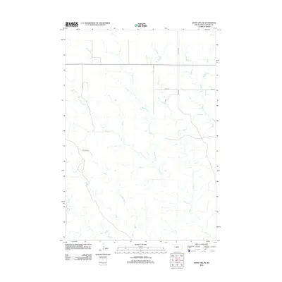
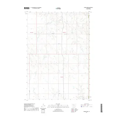
2015 Redowl
Meade County, SD
2015 Reed Dam
Meade County, SD
2015 Saint Onge SE
Meade County, SD
2015 South of Volunteer
Meade County, SD
2015 Stoneville
Meade County, SD
2015 Table Top Butte
Meade County, SD
2015 Thompson Lake
Meade County, SD
2015 Tilford
Meade County, SD
2015 Union Center
Meade County, SD
2015 Vale SE
Meade County, SD
2015 Viewfield
Meade County, SD
2015 Vig Buttes
Meade County, SD
2015 Volunteer
Meade County, SD
2015 Volunteer SE
Meade County, SD
2015 Wasta NW
Meade County, SD
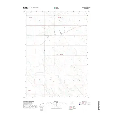
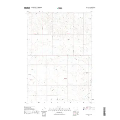
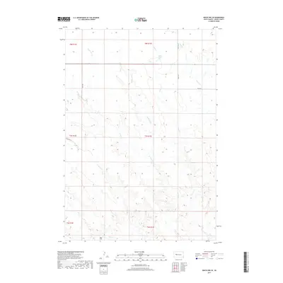
2015 White Owl
Meade County, SD
2015 White Owl NW
Meade County, SD
2015 White Owl SE
Meade County, SD
2017 Avance
Meade County, SD
2017 Avance SE
Meade County, SD
2017 Bend
Meade County, SD
2017 Big Draw
Meade County, SD
2017 Boneita Springs
Meade County, SD
2017 Bull Run Creek
Meade County, SD
2017 Camp Creek
Meade County, SD
2017 Cottonwood Draw
Meade County, SD
2017 Dalzell
Meade County, SD
2017 Dalzell NE
Meade County, SD
2017 Dalzell NW
Meade County, SD
2017 Deadman Mountain
Meade County, SD
2017 Durkee Lake
Meade County, SD
2017 Elm Creek
Meade County, SD
2017 Elm Springs
Meade County, SD
2017 Elm Springs SW
Meade County, SD
2017 Enning
Meade County, SD
2017 Fairpoint
Meade County, SD
2017 Fairpoint NW
Meade County, SD
2017 Fairpoint SE
Meade County, SD
2017 Fairpoint SW
Meade County, SD
2017 Fort Meade
Meade County, SD
2017 Fort Meade NE
Meade County, SD
2017 Fort Meade SE
Meade County, SD
2017 Frozen Man Creek
Meade County, SD
2017 Haydraw
Meade County, SD
2017 Hereford
Meade County, SD
2017 Hereford NE
Meade County, SD
2017 Hereford SE
Meade County, SD
2017 Hereford SW
Meade County, SD
2017 Howes
Meade County, SD
2017 Lemmon Butte
Meade County, SD
2017 Lemmon Creek
Meade County, SD
2017 Lone Tree Creek
Meade County, SD
2017 Marcus
Meade County, SD
2017 New Underwood NW
Meade County, SD
2017 Opal East
Meade County, SD
2017 Opal East SE
Meade County, SD
2017 Opal East SW
Meade County, SD
2017 Opal West
Meade County, SD
2017 Opal West SE
Meade County, SD
2017 Owanka NE
Meade County, SD
2017 Owanka NW
Meade County, SD
2017 Plainview
Meade County, SD
2017 Rapid City NW
Meade County, SD
2017 Redowl
Meade County, SD
2017 Reed Dam
Meade County, SD
2017 Saint Onge SE
Meade County, SD
2017 South of Volunteer
Meade County, SD
2017 Stoneville
Meade County, SD
2017 Table Top Butte
Meade County, SD
2017 Thompson Lake
Meade County, SD
2017 Tilford
Meade County, SD
2017 Union Center
Meade County, SD
2017 Vale SE
Meade County, SD
2017 Viewfield
Meade County, SD
2017 Vig Buttes
Meade County, SD
2017 Volunteer
Meade County, SD
2017 Volunteer SE
Meade County, SD
2017 Wasta NW
Meade County, SD
2017 White Owl
Meade County, SD
2017 White Owl NW
Meade County, SD
2017 White Owl SE
Meade County, SD

2021 Avance
Meade County, SD

2021 Avance SE
Meade County, SD

2021 Bend
Meade County, SD

2021 Big Draw
Meade County, SD

2021 Boneita Springs
Meade County, SD

2021 Bull Run Creek
Meade County, SD

2021 Camp Creek
Meade County, SD

2021 Cottonwood Draw
Meade County, SD

2021 Dalzell
Meade County, SD

2021 Dalzell NE
Meade County, SD

2021 Dalzell NW
Meade County, SD

2021 Deadman Mountain
Meade County, SD

2021 Durkee Lake
Meade County, SD

2021 Elm Creek
Meade County, SD

2021 Elm Springs
Meade County, SD

2021 Elm Springs SW
Meade County, SD

2021 Enning
Meade County, SD

2021 Fairpoint
Meade County, SD

2021 Fairpoint NW
Meade County, SD

2021 Fairpoint SE
Meade County, SD

2021 Fairpoint SW
Meade County, SD

2021 Fort Meade
Meade County, SD

2021 Fort Meade NE
Meade County, SD

2021 Fort Meade SE
Meade County, SD

2021 Frozen Man Creek
Meade County, SD

2021 Haydraw
Meade County, SD

2021 Hereford
Meade County, SD

2021 Hereford NE
Meade County, SD

2021 Hereford SE
Meade County, SD

2021 Hereford SW
Meade County, SD

2021 Howes
Meade County, SD

2021 Lemmon Butte
Meade County, SD

2021 Lemmon Creek
Meade County, SD

2021 Lone Tree Creek
Meade County, SD

2021 Marcus
Meade County, SD

2021 New Underwood NW
Meade County, SD

2021 Opal East
Meade County, SD

2021 Opal East SE
Meade County, SD

2021 Opal East SW
Meade County, SD

2021 Opal West
Meade County, SD

2021 Opal West SE
Meade County, SD

2021 Owanka NE
Meade County, SD

2021 Owanka NW
Meade County, SD

2021 Plainview
Meade County, SD

2021 Rapid City NW
Meade County, SD

2021 Redowl
Meade County, SD

2021 Reed Dam
Meade County, SD

2021 Saint Onge SE
Meade County, SD

2021 South of Volunteer
Meade County, SD

2021 Stoneville
Meade County, SD

2021 Table Top Butte
Meade County, SD

2021 Thompson Lake
Meade County, SD

2021 Tilford
Meade County, SD

2021 Union Center
Meade County, SD

2021 Vale SE
Meade County, SD

2021 Viewfield
Meade County, SD

2021 Vig Buttes
Meade County, SD

2021 Volunteer
Meade County, SD

2021 Volunteer SE
Meade County, SD

2021 Wasta NW
Meade County, SD

2021 White Owl
Meade County, SD

2021 White Owl NW
Meade County, SD

2021 White Owl SE
Meade County, SD