
1959 Map of Stoneville
USGS Topo · Published 1960About this map
Stoneville stands as a primary point of settlement in this northern Meade County landscape, surveyed in the late 1950s. The geography is defined by a network of drainage systems, most notably the meandering paths of Red Owl Creek in the north and White Owl Creek to the south. Between these watercourses, the terrain rises toward Chalk Butte, a prominent local landmark that breaks the surrounding prairie. Evidence of rural infrastructure and water management is visible through the presence of a Windmill and smaller seasonal drainages like Coyote Creek. This survey reflects the region's ranching character, capturing the sparse distribution of homesteads and the essential relationship between the land and its limited water sources during this period.
Find a feature on this map
6 named features on this map. Tap any name to fly to it.
Don’t see what you’re looking for? This feature index may not catch every label — zoom into the map to look around manually.
Map Details
Editions of this 1959 Stoneville Map
This is the sole edition of this map. No revisions or reprints were ever made.
Other maps of this area

1953 · Rapid City
USGS Topo · 1:250,000

1957 · Rapid City
USGS Topo · 1:250,000

1959 · Fairpoint
USGS Topo · 1:24,000

1959 · Enning
USGS Topo · 1:24,000

1959 · Redowl
USGS Topo · 1:24,000

1959 · Union Center
USGS Topo · 1:24,000
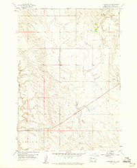
1959 · Fairpoint SE
USGS Topo · 1:24,000

1978 · Bull Run Creek
USGS Topo · 1:24,000

1983 · Opal West SE
USGS Topo · 1:24,000
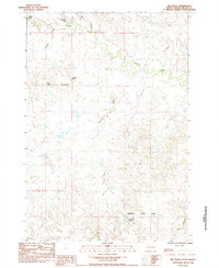
1983 · Big Draw
USGS Topo · 1:24,000