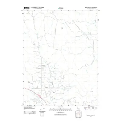
2012 Map of Redwood Valley
USGS Topo · Published 2012About this map
Redwood Valley serves as the central hub of this northern California landscape, where the upper reaches of the Russian River wind through the valley floor. The map illustrates a complex network of rural residential roads and local infrastructure, including a post office designated as Po and the community of Laughlin to the west. The drainage patterns are well-defined by numerous tributaries such as Mariposa Cr and Corral Cr, which flow toward the main river channel from the surrounding highlands.
Find a feature on this map
72 named features on this map. Tap any name to fly to it.
Don’t see what you’re looking for? This feature index may not catch every label — zoom into the map to look around manually.
Map Details
Editions of this 2012 Redwood Valley Map
This is the sole edition of this map. No revisions or reprints were ever made.
Other maps of this area
1920 · Ukiah
USGS Topo · 1:62,500
1922 · Willits
USGS Topo · 1:62,500
1942 · Willits
USGS Topo · 1:62,500
1943 · Pomo
USGS Topo · 1:62,500
1943 · Boonville
USGS Topo · 1:62,500
1944 · Ukiah
USGS Topo · 1:62,500
1944 · Willits
USGS Topo · 1:62,500
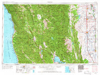
1957 · Ukiah
USGS Topo · 1:250,000
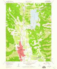
1958 · Ukiah
USGS Topo · 1:24,000
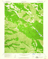
1958 · Cow Mountain
USGS Topo · 1:24,000