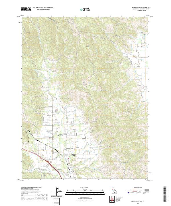
2021 Map of Redwood Valley
USGS Topo · Published 2021About this map
The Russian River flows southward through the heart of the Redwood Valley, shaping a landscape defined by its riparian corridors and complex canyon systems. In the north, Dead Horse Canyon and the Pine Lake Basin overlook the rugged transition toward Potter Valley, where the W Canal indicates the region's managed water infrastructure. The settlement of Redwood Valley serves as a central hub, surrounded by family-named landmarks and rural routes like Tomki Rd and Laughlin Way.
Find a feature on this map
79 named features on this map. Tap any name to fly to it.
Don’t see what you’re looking for? This feature index may not catch every label — zoom into the map to look around manually.
Map Details
Editions of this 2021 Redwood Valley Map
This is the sole edition of this map. No revisions or reprints were ever made.
Other maps of this area

1920 · Ukiah
USGS Topo · 1:62,500

1922 · Willits
USGS Topo · 1:62,500

1942 · Willits
USGS Topo · 1:62,500

1943 · Pomo
USGS Topo · 1:62,500

1943 · Boonville
USGS Topo · 1:62,500

1944 · Ukiah
USGS Topo · 1:62,500

1944 · Willits
USGS Topo · 1:62,500

1957 · Ukiah
USGS Topo · 1:250,000

1958 · Ukiah
USGS Topo · 1:24,000

1958 · Cow Mountain
USGS Topo · 1:24,000