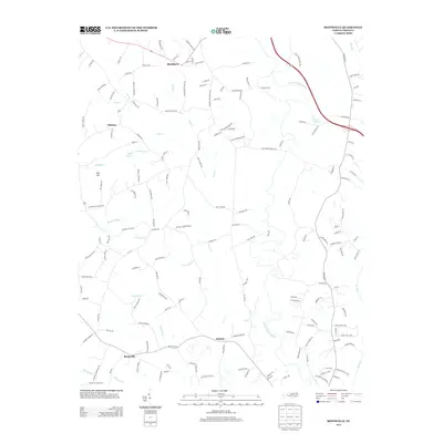
2013 Map of Reepsville
USGS Topo · Published 2013About this map
Blackburn and Reepsville anchor this landscape in Lincoln County, where the dendritic drainage patterns of the S Fork Catawba River and its tributaries define the local geography. The map reveals a transition from traditional agricultural land use to modern rural residential development, connected by a dense network of country roads such as Blackburn School Rd and Potts Creek Rd.
Find a feature on this map
157 named features on this map. Tap any name to fly to it.
Don’t see what you’re looking for? This feature index may not catch every label — zoom into the map to look around manually.
Map Details
Editions of this 2013 Reepsville Map
This is the sole edition of this map. No revisions or reprints were ever made.
Other maps of this area

1895 · Hickory
USGS Topo · 1:125,000
1909 · Lincolnton
USGS Topo · 1:62,500
1911 · Lincolnton
USGS Topo · 1:62,500
1914 · Gastonia
USGS Topo · 1:48,000
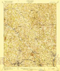
1916 · Gastonia
USGS Topo · 1:62,500

1953 · Charlotte
USGS Topo · 1:250,000

1954 · Charlotte
USGS Topo · 1:250,000

1960 · Charlotte
USGS Topo · 1:250,000

1962 · Charlotte
USGS Topo · 1:250,000
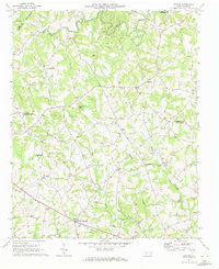
1970 · Banoak
USGS Topo · 1:24,000