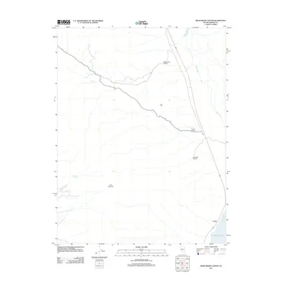
2011 Map of Reese River Canyon
USGS Topo · Published 2011About this map
Avalon sits at the edge of the desert landscape where the mountain slopes meet the northwestern shore of Walker Lake. This 2011 survey illustrates the arid topography of Mineral County, dominated by the significant drainage of Reese River Canyon and the high points of Lake Peak and Bald Mountain. The path of the Walker River is visible as it winds toward the lake, providing a critical water source in an otherwise parched environment. The map details several smaller geographic features such as Sulphur Spring and Twilight Spring, which highlight the sparse but essential water points that historically dictated movement through the Great Basin. Deep cuts through the terrain are represented by Penrod Canyon and Deadman Canyon, reflecting the natural erosion patterns of the Nevada high desert.
Find a feature on this map
10 named features on this map. Tap any name to fly to it.
Don’t see what you’re looking for? This feature index may not catch every label — zoom into the map to look around manually.
Map Details
Editions of this 2011 Reese River Canyon Map
This is the sole edition of this map. No revisions or reprints were ever made.
Other maps of this area

1909 · Hawthorne
USGS Topo · 1:250,000

1911 · Hawthorne
USGS Topo · 1:250,000

1915 · Hawthorne
USGS Topo · 1:250,000

1948 · Walker Lake
USGS Topo · 1:250,000

1955 · Hawthorne
USGS Topo · 1:62,500

1956 · Mt. Grant
USGS Topo · 1:62,500

1957 · Walker Lake
USGS Topo · 1:250,000

1962 · Walker Lake
USGS Topo · 1:250,000

1964 · Walker Lake
USGS Topo · 1:250,000

1964 · Gillis Canyon
USGS Topo · 1:62,500