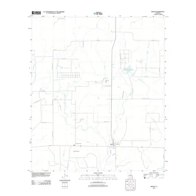
2012 Map of Reeves
USGS Topo · Published 2012About this map
Reeves and the nearby settlement of Bel serve as the primary focal points of this Allen Parish landscape, situated within a complex network of coastal plain drainage. The area is defined by its industrial reliance on subsurface resources, specifically the Mud Creek Oil Field and North Bell Oil Field, which are integrated into a grid of rural roads and timberlands. Local infrastructure is anchored by the Bel Lookout Tower and a local post office Po located near the intersection of Highway 190.
Find a feature on this map
52 named features on this map. Tap any name to fly to it.
Don’t see what you’re looking for? This feature index may not catch every label — zoom into the map to look around manually.
Map Details
Editions of this 2012 Reeves Map
This is the sole edition of this map. No revisions or reprints were ever made.
Other maps of this area

1935 · Mittie
USGS Topo · 1:31,680

1935 · Gaytine
USGS Topo · 1:31,680

1935 · Longville
USGS Topo · 1:31,680

1947 · Gaytine
USGS Topo · 1:31,680

1947 · Le Blanc
USGS Topo · 1:31,680

1947 · Edna
USGS Topo · 1:31,680

1947 · Reeves
USGS Topo · 1:31,680

1947 · Longville
USGS Topo · 1:31,680

1947 · Thompson Bluff
USGS Topo · 1:31,680

1947 · Bundick
USGS Topo · 1:31,680