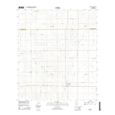
2015 Map of Reeves
USGS Topo · Published 2015About this map
Reeves and the nearby community of Bel anchor this southern Louisiana landscape, where the boundary between Beauregard Parish and Allen Parish runs through a complex network of bayous and creeks. The area is defined by a dense drainage system including Cane Brake Cr, Mud Cr, and the expansive Bear Cr Watershed Number 1. These waterways dictate the local geography, with roads often following the higher ground between drainage basins.
Find a feature on this map
50 named features on this map. Tap any name to fly to it.
Don’t see what you’re looking for? This feature index may not catch every label — zoom into the map to look around manually.
Map Details
Editions of this 2015 Reeves Map
This is the sole edition of this map. No revisions or reprints were ever made.
Other maps of this area

1935 · Mittie
USGS Topo · 1:31,680

1935 · Gaytine
USGS Topo · 1:31,680

1935 · Longville
USGS Topo · 1:31,680

1947 · Gaytine
USGS Topo · 1:31,680

1947 · Le Blanc
USGS Topo · 1:31,680

1947 · Edna
USGS Topo · 1:31,680

1947 · Reeves
USGS Topo · 1:31,680

1947 · Longville
USGS Topo · 1:31,680

1947 · Thompson Bluff
USGS Topo · 1:31,680

1947 · Bundick
USGS Topo · 1:31,680