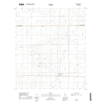
2018 Map of Reeves
USGS Topo · Published 2018About this map
The settlement of Reeves serves as the primary hub in this portion of Allen Parish, situated at a major crossroads where the local timber and agricultural economy is etched into the landscape. To the west, the community of Bel marks another point of settlement along the southern corridor. The terrain is defined by an intricate network of waterways, including Clear Cr, Brushy Cr, and Big Br, which drain the low-lying pine lands of southwest Louisiana.
Find a feature on this map
47 named features on this map. Tap any name to fly to it.
Don’t see what you’re looking for? This feature index may not catch every label — zoom into the map to look around manually.
Map Details
Editions of this 2018 Reeves Map
This is the sole edition of this map. No revisions or reprints were ever made.
Other maps of this area

1935 · Mittie
USGS Topo · 1:31,680

1935 · Gaytine
USGS Topo · 1:31,680

1935 · Longville
USGS Topo · 1:31,680

1947 · Gaytine
USGS Topo · 1:31,680

1947 · Le Blanc
USGS Topo · 1:31,680

1947 · Edna
USGS Topo · 1:31,680

1947 · Reeves
USGS Topo · 1:31,680

1947 · Longville
USGS Topo · 1:31,680

1947 · Thompson Bluff
USGS Topo · 1:31,680

1947 · Bundick
USGS Topo · 1:31,680