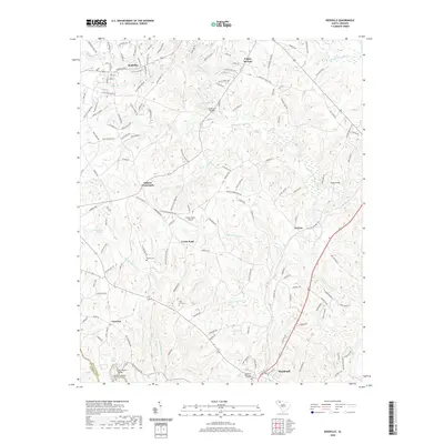
2020 Map of Reidville
USGS Topo · Published 2020About this map
Van Patton Shoals on the Enoree River anchors the southern boundary of this Piedmont landscape, where the terrain is defined by the winding paths of the South Tyger River and Middle Tyger River. This modern survey reveals a complex network of local settlements including Reidville, Poplar Springs, and Woodruff, connected by historical crossroads such as Dillard Crossroads. The map is particularly useful for genealogists, as it preserves the locations of several burial grounds, from the Cedar Grove Baptist Church Graveyard to the smaller Penden Cem and Flint Hill Cem. The presence of the Green Pond Airport and the CSX Transportation line reflects the intersection of traditional Upstate agriculture with contemporary transportation infrastructure, while numerous creeks like Big Ferguson Cr and Brushy Cr illustrate the dense drainage system characteristic of Spartanburg County.
Find a feature on this map
162 named features on this map. Tap any name to fly to it.
Don’t see what you’re looking for? This feature index may not catch every label — zoom into the map to look around manually.
Map Details
Editions of this 2020 Reidville Map
This is the sole edition of this map. No revisions or reprints were ever made.
Other maps of this area

1935 · Greer
USGS Topo · 1:48,000

1938 · Greer
USGS Topo · 1:62,500

1941 · Spartanburg
USGS Topo · 1:250,000

1947 · Spartanburg
USGS Topo · 1:62,500

1949 · Spartanburg
USGS Topo · 1:24,000

1949 · Spartanburg
USGS Topo · 1:62,500

1953 · Spartanburg
USGS Topo · 1:250,000

1954 · Greenville
USGS Topo · 1:250,000

1957 · Fountain Inn
USGS Topo · 1:62,500

1957 · Greer
USGS Topo · 1:62,500