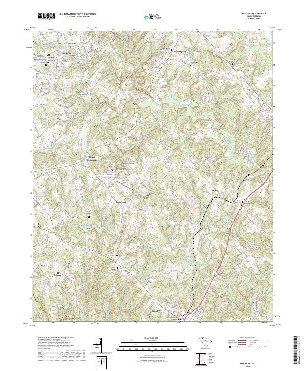
2024 Map of Reidville
USGS Topo · Published 2024About this map
Reidville and Woodruff anchor this landscape where the Middle Tyger River and South Tyger River navigate the Piedmont terrain of Spartanburg County. The map reveals a dense network of early community centers, marked primarily by numerous rural churches and family burial grounds that tell the story of generations of settlement. From the Walker Chapel United Presbyterian Church Graveyard in the northwest to the Crestview Memorial Gardens in the south, the region's genealogy is etched into the land. Small rural crossroads like Dillard Crossroads, Green Pond, and Switzer are connected by a web of local roads, while the presence of the Green Pond Airport and Green Pond Memorial Gardens highlights the continued significance of these interior communities. Water defines the topography, with Big Ferguson Creek and Chickenfoot Creek draining into the larger river systems that once powered the region's early development.
Find a feature on this map
126 named features on this map. Tap any name to fly to it.
Don’t see what you’re looking for? This feature index may not catch every label — zoom into the map to look around manually.
Map Details
Editions of this 2024 Reidville Map
This is the sole edition of this map. No revisions or reprints were ever made.
Other maps of this area

1935 · Greer
USGS Topo · 1:48,000

1938 · Greer
USGS Topo · 1:62,500

1941 · Spartanburg
USGS Topo · 1:250,000

1947 · Spartanburg
USGS Topo · 1:62,500

1949 · Spartanburg
USGS Topo · 1:24,000

1949 · Spartanburg
USGS Topo · 1:62,500

1953 · Spartanburg
USGS Topo · 1:250,000

1954 · Greenville
USGS Topo · 1:250,000

1957 · Fountain Inn
USGS Topo · 1:62,500

1957 · Greer
USGS Topo · 1:62,500