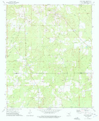
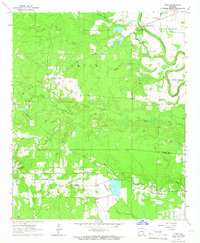
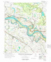
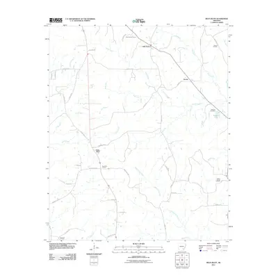
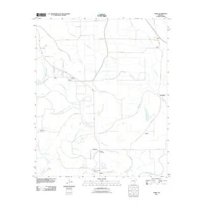
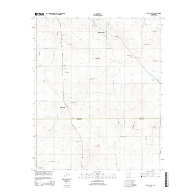
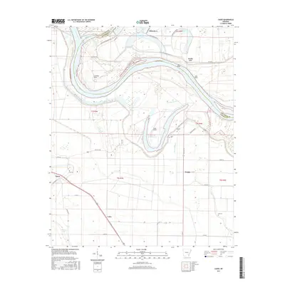
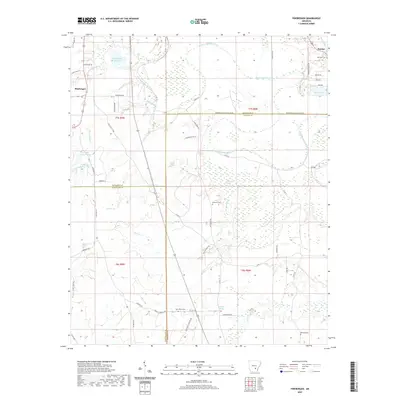
1973 Map of Relfs Bluff
USGS Topo · Published 1975About this map
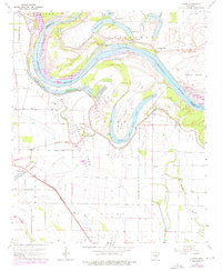
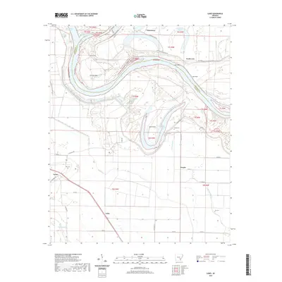
Relfs Bluff and the nearby crossroads of Little Garnett anchor this rural landscape along the boundary of Lincoln and Drew Counties. The 1970s terrain is defined by a dense network of small waterways, including Chance Creek and Twomile Creek, which dictate the placement of farms and gravel operations. The abundance of Gravel Pits scattered across the quadrangle points to the local extractive industry of the era.
Find a feature on this map
29 named features on this map. Tap any name to fly to it.
Don’t see what you’re looking for? This feature index may not catch every label — zoom into the map to look around manually.
Map Details
Editions of this 1973 Relfs Bluff Map
This is the sole edition of this map. No revisions or reprints were ever made.
Historical Maps of Little Garnett Through Time
60 maps found

1935 Feenyville
Lincoln County, AR
1935 Rotan
Lincoln County, AR
1935 Varner
Lincoln County, AR
1964 Avery
Lincoln County, AR
1964 Cades
Lincoln County, AR
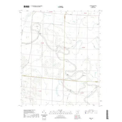
1964 Gourd
Lincoln County, AR
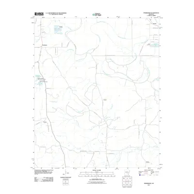
1964 Pinebergen
Lincoln County, AR
1964 Tarry
Lincoln County, AR
1964 Tyro
Lincoln County, AR

1968 Rotan
Lincoln County, AR
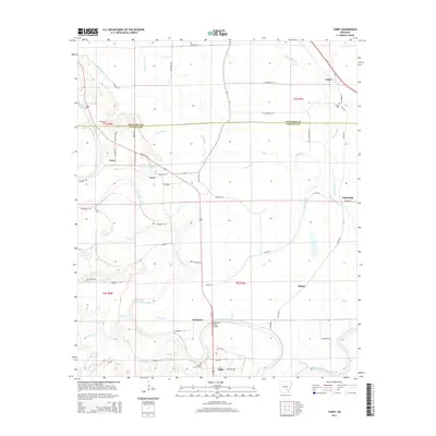
1971 Tarry
Lincoln County, AR
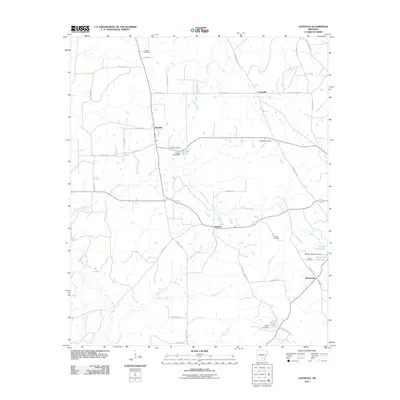
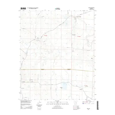
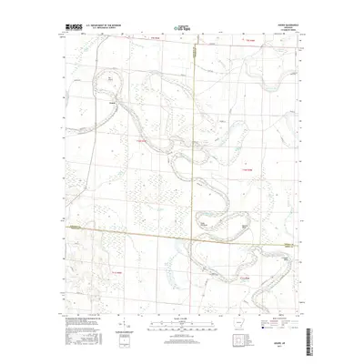
1973 Glendale
Lincoln County, AR
1973 Relfs Bluff
Lincoln County, AR
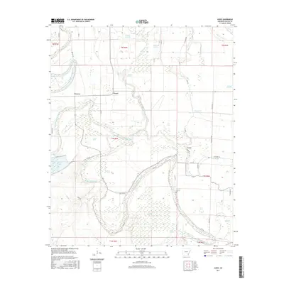
1975 Lonoke SE
Lincoln County, AR
1978 Varner
Lincoln County, AR
2011 Avery
Lincoln County, AR
2011 Cades
Lincoln County, AR
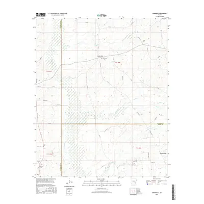
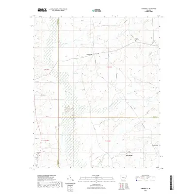
2011 Cornerville
Lincoln County, AR
2011 Glendale
Lincoln County, AR
2011 Gourd
Lincoln County, AR
2011 Pinebergen
Lincoln County, AR
2011 Relfs Bluff
Lincoln County, AR
2011 Tarry
Lincoln County, AR
2011 Tyro
Lincoln County, AR
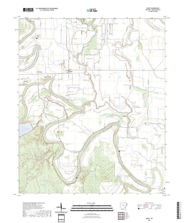
2014 Avery
Lincoln County, AR
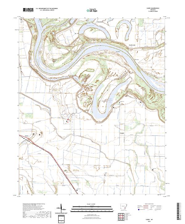
2014 Cades
Lincoln County, AR
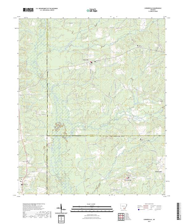
2014 Cornerville
Lincoln County, AR
2014 Glendale
Lincoln County, AR
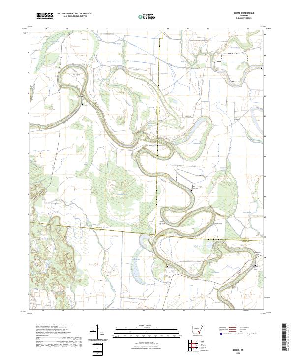
2014 Gourd
Lincoln County, AR
2014 Pinebergen
Lincoln County, AR
2014 Relfs Bluff
Lincoln County, AR
2014 Tarry
Lincoln County, AR
2014 Tyro
Lincoln County, AR
2017 Avery
Lincoln County, AR
2017 Cades
Lincoln County, AR
2017 Cornerville
Lincoln County, AR
2017 Glendale
Lincoln County, AR
2017 Gourd
Lincoln County, AR
2017 Pinebergen
Lincoln County, AR
2017 Relfs Bluff
Lincoln County, AR

2017 Tarry
Lincoln County, AR
2017 Tyro
Lincoln County, AR
2020 Avery
Lincoln County, AR
2020 Cades
Lincoln County, AR
2020 Cornerville
Lincoln County, AR
2020 Glendale
Lincoln County, AR
2020 Gourd
Lincoln County, AR
2020 Pinebergen
Lincoln County, AR
2020 Relfs Bluff
Lincoln County, AR
2020 Tarry
Lincoln County, AR
2020 Tyro
Lincoln County, AR
2024 Avery
Lincoln County, AR
2024 Cades
Lincoln County, AR
2024 Cornerville
Lincoln County, AR

2024 Glendale
Lincoln County, AR
2024 Gourd
Lincoln County, AR
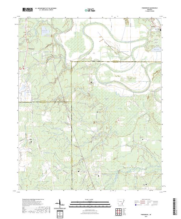
2024 Pinebergen
Lincoln County, AR
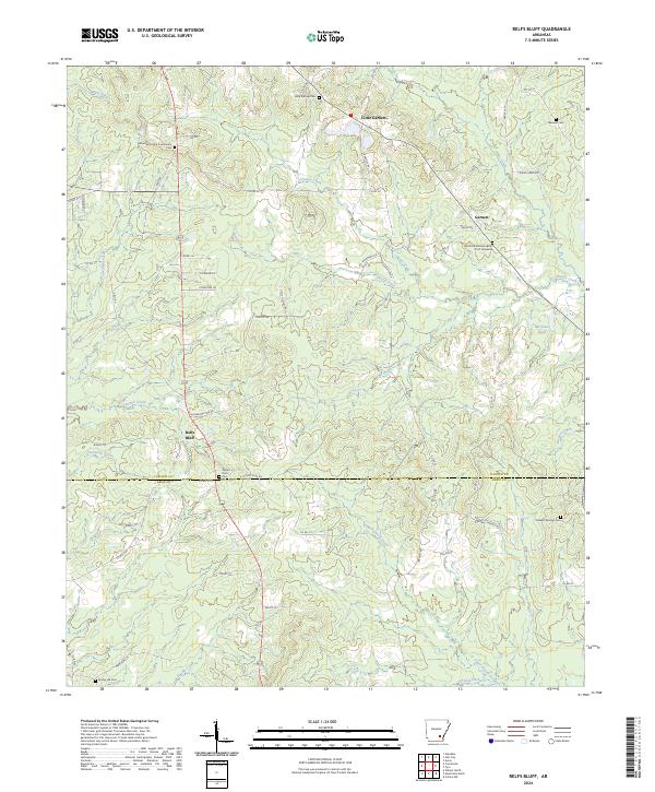
2024 Relfs Bluff
Lincoln County, AR
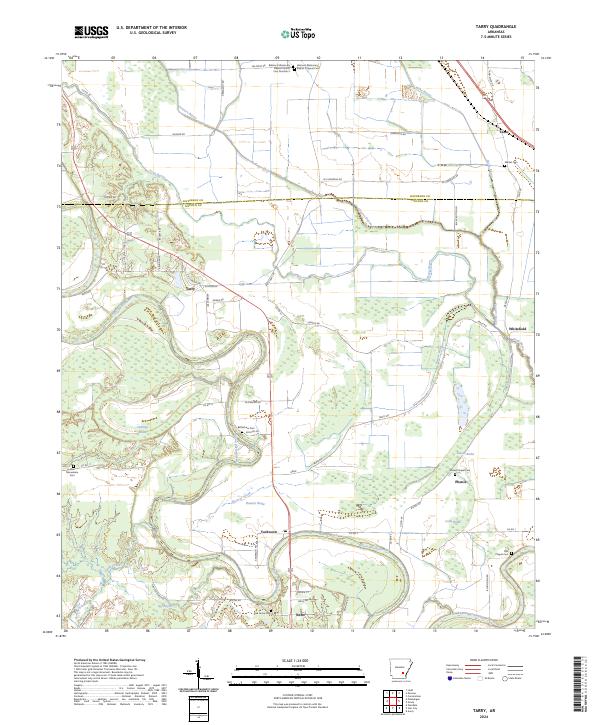
2024 Tarry
Lincoln County, AR
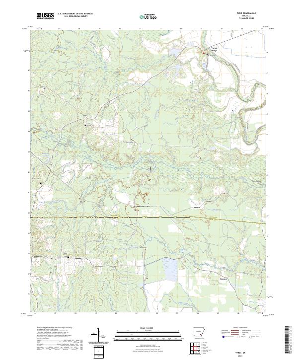
2024 Tyro
Lincoln County, AR