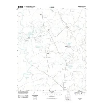
2011 Map of Rembert
USGS Topo · Published 2011About this map
The Wateree River defines the western edge of this landscape, where the legacy of early river transport and water-powered industry is still evident in the local geography. Settlements like Boykin, Rembert, and Hagood anchor the interior, while the riverbank is marked by historical crossing points such as Ancrum Ferry and Sumters Landing. The agricultural character of the region is underscored by the presence of the South Carolina Penitentiary State Farm Number One near White Oak Slash Lake.
Find a feature on this map
89 named features on this map. Tap any name to fly to it.
Don’t see what you’re looking for? This feature index may not catch every label — zoom into the map to look around manually.
Map Details
Editions of this 2011 Rembert Map
This is the sole edition of this map. No revisions or reprints were ever made.
Other maps of this area

1938 · Hagood
USGS Topo · 1:62,500

1941 · Spartanburg
USGS Topo · 1:250,000

1942 · Camden
USGS Topo · 1:125,000

1943 · Eastover
USGS Topo · 1:62,500

1946 · Sumter
USGS Topo · 1:62,500

1953 · Camden South
USGS Topo · 1:24,000

1953 · Eastover
USGS Topo · 1:24,000

1953 · Lugoff
USGS Topo · 1:24,000

1953 · Wedgefield
USGS Topo · 1:24,000

1953 · Rembert
USGS Topo · 1:24,000