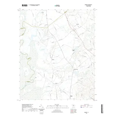
2020 Map of Rembert
USGS Topo · Published 2020About this map
Boykin and Horatio anchor this landscape along the boundary of Kershaw and Sumter Counties, where the lowlands of the Wateree River meet a complex network of creeks and swamps. The terrain is defined by significant wetlands, including White Marsh Swamp and Gum Swamp, which have long influenced local settlement patterns and industry. Historical agricultural and milling roots are evident through the presence of Ellerbees Mill and Dinkins Mill, while Willow Grove Cem provides a point of interest for those researching local family histories.
Find a feature on this map
82 named features on this map. Tap any name to fly to it.
Don’t see what you’re looking for? This feature index may not catch every label — zoom into the map to look around manually.
Map Details
Editions of this 2020 Rembert Map
This is the sole edition of this map. No revisions or reprints were ever made.
Other maps of this area

1938 · Hagood
USGS Topo · 1:62,500

1941 · Spartanburg
USGS Topo · 1:250,000

1942 · Camden
USGS Topo · 1:125,000

1943 · Eastover
USGS Topo · 1:62,500

1946 · Sumter
USGS Topo · 1:62,500

1953 · Camden South
USGS Topo · 1:24,000

1953 · Eastover
USGS Topo · 1:24,000

1953 · Lugoff
USGS Topo · 1:24,000

1953 · Wedgefield
USGS Topo · 1:24,000

1953 · Rembert
USGS Topo · 1:24,000