Loading...
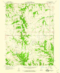
Loading map...1958 Map of Rensselaer
USGS Topo · Published 1960About this map
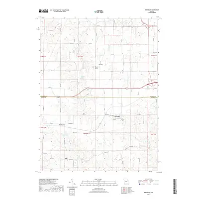
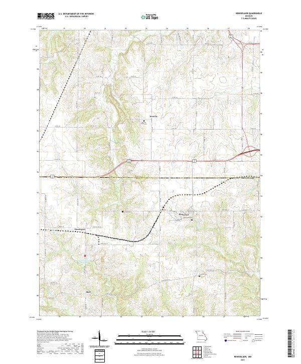
Rensselaer sits at the center of this rural landscape where the Wabash railroad and Highway 19 intersect, marking a vital transit point in the late 1950s. The map captures the agricultural and industrial character of the Marion and Ralls county border, where small settlements like Huntington and West Ely serve as local hubs. This area is defined by its water systems, including the winding South River and several smaller streams like Bear Creek and Cedar Creek.
Find a feature on this map
25 named features on this map. Tap any name to fly to it.
Don’t see what you’re looking for? This feature index may not catch every label — zoom into the map to look around manually.
Map Details
Date Portrayed1958
Date Published1960
PublisherU.S. Geological Survey
Map TypeTopographic
Scale1:24,000
Physical Dimensions22 x 26.9 inches
Editions of this 1958 Rensselaer Map
2 editions found
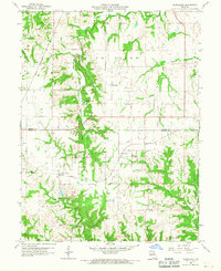
Historical Maps of Rensselaer Through Time
5 maps found
Featured Locations
Source Details
SourceU.S. Geological Survey
CopyrightPublic Domain