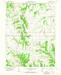
1958 Map of Rensselaer
USGS Topo · Published 1967About this map
Rensselaer sits at the heart of this mid-century landscape where the Wabash railroad cuts across the Marion Co Ralls Co line. The terrain is defined by the winding course of the South River, which flows past Sylvan Lake and through several land townships including Saline and Clay. Local transport and industry are evident through the Chicago Burlington and Quincy rail line and a documented Quarry and Mine Dump near the center of the sheet.
Find a feature on this map
23 named features on this map. Tap any name to fly to it.
Don’t see what you’re looking for? This feature index may not catch every label — zoom into the map to look around manually.
Map Details
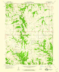
Editions of this 1958 Rensselaer Map
2 editions found
Other maps of this area

1903 · Palmyra
USGS Topo · 1:125,000

1925 · Quincy
USGS Topo · 1:62,500

1932 · Hannibal
USGS Topo · 1:62,500

1936 · Hannibal
USGS Topo · 1:48,000

1944 · Quincy
USGS Topo · 1:62,500

1945 · Hannibal
USGS Topo · 1:62,500

1945 · Quincy
USGS Topo · 1:62,500

1948 · Quincy
USGS Topo · 1:250,000

1949 · Palmyra
USGS Topo · 1:24,000

1949 · Philadelphia
USGS Topo · 1:24,000