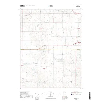
2017 Map of Rensselaer
USGS Topo · Published 2017About this map
West Ely and the surrounding farmland of Marion and Ralls counties define this section of Missouri. The landscape is carved by a dense network of waterways including the S River, Bear Creek, and Lick Creek, which traverse the rolling plains between small rural settlements. The map highlights the traditional distribution of burial grounds across the countryside, such as the West Ely Graveyard, Finley Cemetery, and Foreman Cemetery, each serving as a marker for the area's early families.
Find a feature on this map
77 named features on this map. Tap any name to fly to it.
Don’t see what you’re looking for? This feature index may not catch every label — zoom into the map to look around manually.
Map Details
Editions of this 2017 Rensselaer Map
This is the sole edition of this map. No revisions or reprints were ever made.
Other maps of this area

1903 · Palmyra
USGS Topo · 1:125,000

1925 · Quincy
USGS Topo · 1:62,500

1932 · Hannibal
USGS Topo · 1:62,500

1936 · Hannibal
USGS Topo · 1:48,000

1944 · Quincy
USGS Topo · 1:62,500

1945 · Hannibal
USGS Topo · 1:62,500

1945 · Quincy
USGS Topo · 1:62,500

1948 · Quincy
USGS Topo · 1:250,000

1949 · Palmyra
USGS Topo · 1:24,000

1949 · Philadelphia
USGS Topo · 1:24,000