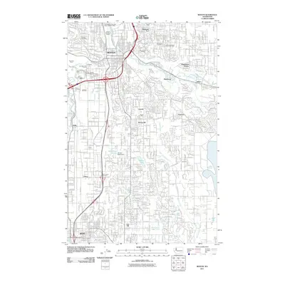
2011 Map of Renton
USGS Topo · Published 2011About this map
Renton and Kent anchor this corridor of the Green River Valley during a period of significant suburban and industrial density. The landscape is defined by its aviation and transportation hubs, featuring the Renton Municipal Airport alongside the specialized Will Rogers Wiley Post Meml Seaplane Base. Historic residential patterns are visible in established neighborhoods like Highlands, Maplewood, and Cascade, while the Saar Pioneer Cemetery near O'Brien provides a point of connection to the area's early settlers. The eastern portion of the map is dominated by the protected Renton Watershed and the expansive waters of Lake Youngs. Industrial activity is noted at the Black River Quarry, and recreational spaces such as the Earlington Golf Course and Longacres Race Track are woven into the suburban fabric.
Find a feature on this map
43 named features on this map. Tap any name to fly to it.
Don’t see what you’re looking for? This feature index may not catch every label — zoom into the map to look around manually.
Map Details
Editions of this 2011 Renton Map
This is the sole edition of this map. No revisions or reprints were ever made.
Other maps of this area

1894 · Seattle
USGS Topo · 1:62,500

1895 · Snohomish
USGS Topo · 1:125,000

1897 · Tacoma
USGS Topo · 1:125,000

1897 · Seattle
USGS Topo · 1:125,000

1900 · Tacoma
USGS Topo · 1:125,000

1908 · Seattle
USGS Topo · 1:62,500

1909 · Seattle Special
USGS Topo · 1:62,500

1949 · Maple Valley
USGS Topo · 1:24,000

1949 · Black Diamond
USGS Topo · 1:24,000

1949 · Poverty Bay
USGS Topo · 1:24,000