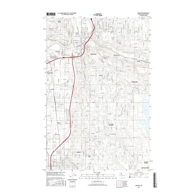
2017 Map of Renton
USGS Topo · Published 2017About this map
Renton and Kent anchor this detailed landscape in 2017, showcasing the dense urban development south of Lake Washington. The topography is defined by the convergence of major waterways, including the Cedar River and the Green River, which shaped the early industrial and agricultural corridors of the valley. Historic sites such as the Saar Pioneer Cem and Mount Olivet Cem provide grounded links to early settlement, while the presence of the Renton Municipal Airport and the BNSF Railway highlights the area's continued role as a regional transportation hub.
Find a feature on this map
53 named features on this map. Tap any name to fly to it.
Don’t see what you’re looking for? This feature index may not catch every label — zoom into the map to look around manually.
Map Details
Editions of this 2017 Renton Map
This is the sole edition of this map. No revisions or reprints were ever made.
Other maps of this area

1894 · Seattle
USGS Topo · 1:62,500

1895 · Snohomish
USGS Topo · 1:125,000

1897 · Tacoma
USGS Topo · 1:125,000

1897 · Seattle
USGS Topo · 1:125,000

1900 · Tacoma
USGS Topo · 1:125,000

1908 · Seattle
USGS Topo · 1:62,500

1909 · Seattle Special
USGS Topo · 1:62,500

1949 · Maple Valley
USGS Topo · 1:24,000

1949 · Black Diamond
USGS Topo · 1:24,000

1949 · Poverty Bay
USGS Topo · 1:24,000